Reserva Natural La Payunia
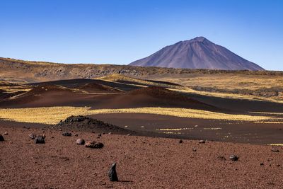
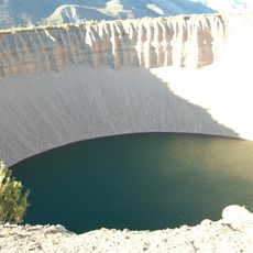
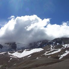
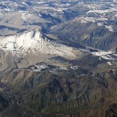
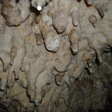
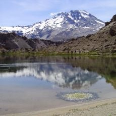
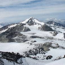
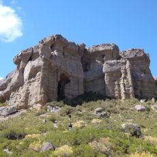
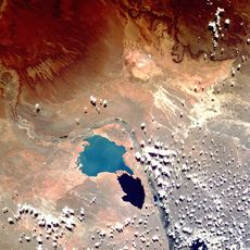
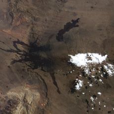
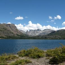
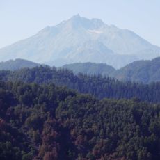
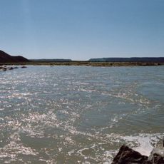
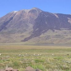
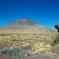
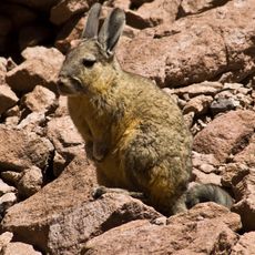
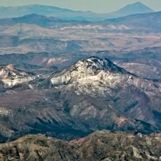
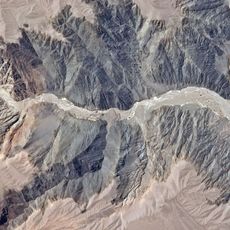
Reserva Natural La Payunia is a nature reserve in Argentina managed to protect habitats and species through careful stewardship. The area contains volcanic landscapes, dry vegetation, and diverse wildlife habitats across a semi-arid terrain.
The area was designated as a protected zone to preserve its distinctive volcanic formations and native wildlife. Its establishment as a managed natural landscape reflected growing recognition of the ecological value in this dry region.
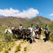
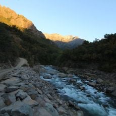
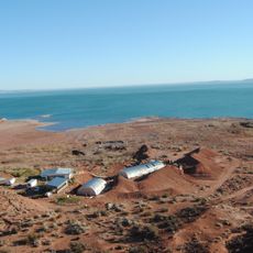
Access typically comes from the nearest town, with travel through rough, dry landscape. Visitors should bring plenty of water, sun protection, and sturdy footwear since the terrain is open and exposed.
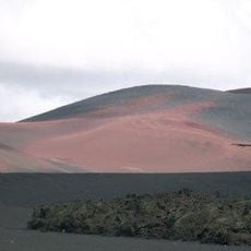
The region is notable for its high concentration of volcanic cones and lava flows, creating a rare interplay between geology and wildlife diversity. This contrast between harsh landscape and rich animal life makes the place scientifically important.
Location: Distrito Agua Escondida
Inception: January 1, 1982
Operator: Provincia de Mendoza
Address: Malargüe, Mendoza Province, Argentina
Phone: +542613345488
GPS coordinates: -36.59781,-68.94980
Latest update: December 6, 2025 19:04
The Mendoza region offers wineries with historic and modern cellars, natural parks including the highest peak in the Americas, museums tracing local history, squares adorned with monuments, and notable geological sites. The area also includes colonial forts, historical churches, lakes, ski resorts, and nature reserves with volcanic formations.
Pincheira brothers
187.5 km
Atuel Canyon
193.7 km
Reserva Provincial La Payunia
29.9 km
Pozo de las Ánimas
183.3 km
Domuyo
132.4 km
Pierre Auger Observatory
158.3 km
Cerro Azul
193.8 km
Witches' Cave
118.3 km
Descabezado Grande
196.7 km
Planchón-Peteroa
210.2 km
Reserva Provincial Castillos de Pincheira
142.5 km
Cerros Colorados Complex
212 km
Payun Matru
32.4 km
Altos de Lircay National Reserve
211 km
Volcán Planchón
211.4 km
Tromen
115 km
Lagunas de Epulafquen
187.5 km
Nevado de Longaví
203.3 km
Colapso del lago Cari Lauquen
108.3 km
Los Bellotos del Melado National Reserve
210.3 km
Parque provincial El Tromen
116.4 km
Payún Liso
31.5 km
Serranía El Peralito
89.1 km
Cochiquito Volcanic Group
80.4 km
Museum of Geology and Paleontology of the National University of Comahue
207.3 km
San Pedro de Tarara
183.4 km
Lomas Blancas
187.6 km
Parque provincial del Tromen
117.7 kmReviews
Visited this place? Tap the stars to rate it and share your experience / photos with the community! Try now! You can cancel it anytime.
Discover hidden gems everywhere you go!
From secret cafés to breathtaking viewpoints, skip the crowded tourist spots and find places that match your style. Our app makes it easy with voice search, smart filtering, route optimization, and insider tips from travelers worldwide. Download now for the complete mobile experience.
A unique approach to discovering new places❞
— Le Figaro
All the places worth exploring❞
— France Info
A tailor-made excursion in just a few clicks❞
— 20 Minutes