Machalí, Commune and city in Cachapoal Province, Chile.
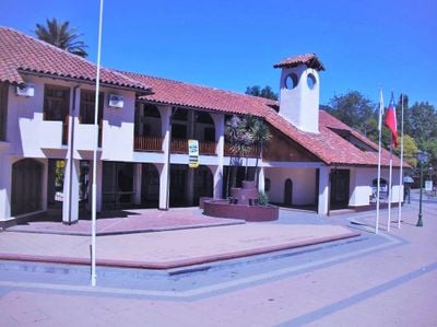
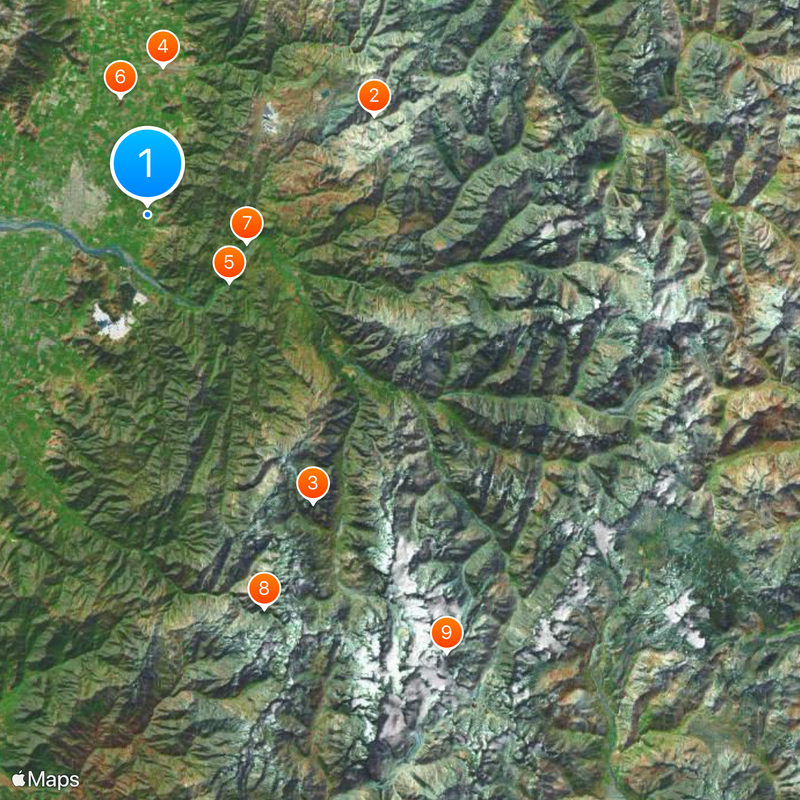
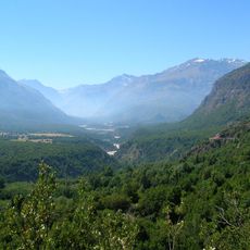
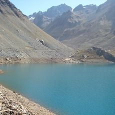
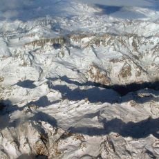
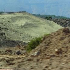
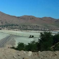
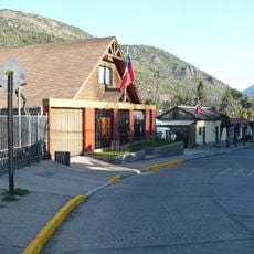
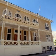
Machalí is a commune in Cachapoal Province in the O'Higgins Region of central Chile, situated at about 552 meters elevation. The territory encompasses urban settlements at lower elevations alongside portions of the Andes Mountains at higher altitudes.
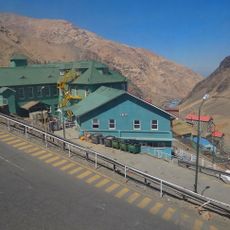
Machalí emerged as an administrative entity in a region with deep mining roots, particularly copper extraction. The municipality's growth during the 1990s and 2000s was linked to economic activity in this sector.
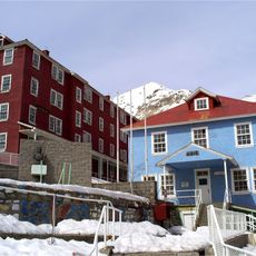
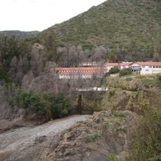
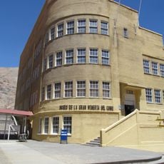
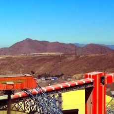
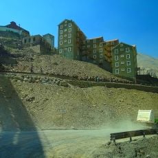
Sewell, the former copper mining village within the municipality, still shows traces of its mining heritage through its tightly built structures. Visitors can see how the settlement clings to steep hillsides, revealing a way of life shaped by extractive industry.
The place is characterized by an urban center with modern services spread across flatter terrain, while higher areas present more challenging access. Visitors should expect varying road conditions and may need different transportation options depending on their destination.
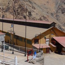
Sewell received UNESCO World Heritage recognition in 2006 and now stands as an abandoned village that preserves an entire mining operation from a bygone era. Visitors can walk through its deserted streets and explore the architecture and infrastructure specifically designed for mining workers.
Location: Cachapoal Province
Elevation above the sea: 552 m
Website: http://machali.cl
GPS coordinates: -34.18258,-70.65111
Latest update: December 7, 2025 09:26
Estadio El Teniente
8 km
Parque Safari Rancagua
13.9 km
Plaza de los Héroes de Rancagua
8.4 km
Termas de Cauquenes
11.5 km
Pukara de La Compañia
13.2 km
Sagrario Cathedral
8.4 km
Casa 100
11.2 km
Museo Regional de Rancagua
8.4 km
Shopping Center Punta del Sol
9 km
La Compañía (church)
11.7 km
Teatro Regional Lucho Gatica
8.3 km
Iglesia de San Francisco de Asís (Rancagua)
8.3 km
Casa patronal del fundo El Puente
8.4 km
Monumento a la Familia Minera
1.7 km
Casa Hodgkinson
14.5 km
Estadio Municipal Patricio Mekis
9.4 km
Gobernación Provincial de Cachapoal
8.3 km
Embalse Barahona I
17 km
Tranque Barahona II
16.9 km
Plazuela Marcelino Champagnat
8.4 km
Iglesia de Nuestra Señora de la Merced, Codegua
16.6 km
Población Errázuriz de Coya
11.4 km
Cerro Alto Los Lunes
13.8 km
Paseo de los Derechos Humanos, Escultura El Abrazo Solidario y Piedra Verde
8.6 km
Iglesia de la Merced
8.3 km
Museo Regional de Rancagua
8.4 km
Casa del Pilar de Piedra
8.4 km
Espacio Cultural Iglesia La Merced
8.4 kmVisited this place? Tap the stars to rate it and share your experience / photos with the community! Try now! You can cancel it anytime.
Discover hidden gems everywhere you go!
From secret cafés to breathtaking viewpoints, skip the crowded tourist spots and find places that match your style. Our app makes it easy with voice search, smart filtering, route optimization, and insider tips from travelers worldwide. Download now for the complete mobile experience.
A unique approach to discovering new places❞
— Le Figaro
All the places worth exploring❞
— France Info
A tailor-made excursion in just a few clicks❞
— 20 Minutes