Cerro de Chena, Hill summit in San Bernardo, Chile
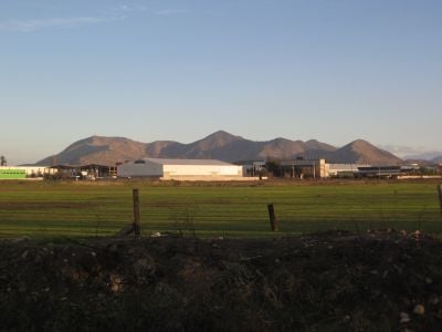
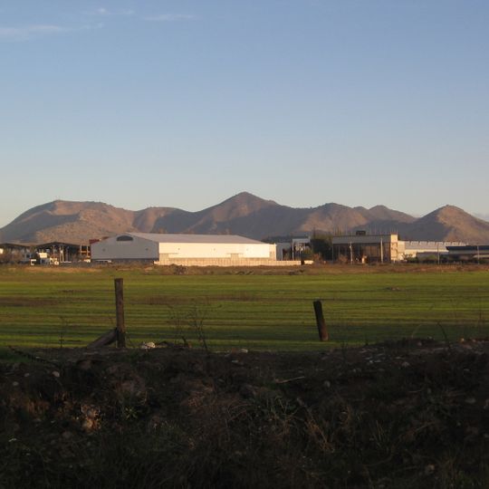
Cerro de Chena is a range of hills between San Bernardo and Calera de Tango in the Santiago Metropolitan Region, west of San Bernardo. Its highest point is Cumbre San Jorge, given as 952 m in one source and 930 m in another, where several tambos stand. A large radio antenna on the hills is visible from the city, and the Pucará de Chena hill, reached by the Catemito road, holds stone ruins.
The Inka built a fortress on this hill toward the end of the 15th century as part of their expansion into central Chile and their control over the Maipo valley. Centuries later, during the Chilean War of Independence, the hill was used again as a military observation point.
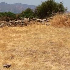
At the top of Cerro de Chena, there is a pre-Hispanic fortress known as a Pukará, whose stone walls are still visible on the summit plateau. Visitors who reach the top can walk among the ruins and get a direct sense of how this high ground was once used for control and defense.
The mountain can be visited any time of year, though the trails are drier and easier to walk during the summer months. In winter the paths can get slippery, so sturdy footwear is a good idea.
The summit of the range is Cumbre San Jorge, listed at 952 m in one source and 930 m in another, and several tambos, small stone structures, stand on its top. On another hill, the Pucará, recent studies interpret the ruins not as a fortress but as a sacred huaca, the Huaca de Chena, where the Inti Raymi festival was reportedly held. A small hill holds a large statue of the Virgin Mary that draws pilgrims during Holy Week.
The community of curious travelers
AroundUs brings together thousands of curated places, local tips, and hidden gems, enriched daily by 94,005 contributors worldwide.