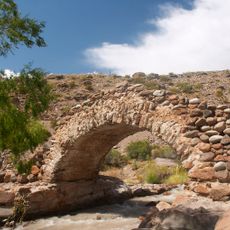
Puente del Inca, Natural geological formation in Las Heras Department, Argentina
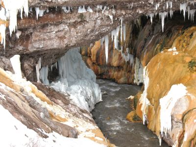
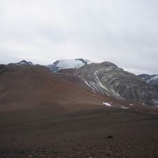
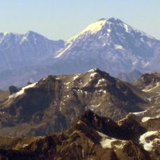
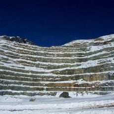
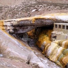
Puente del Inca is a natural limestone bridge that spans the Las Cuevas River at an elevation of about 2,735 meters (8,973 feet). The bridge displays a distinctive yellow-orange color created by mineral deposits that have accumulated over time.
The formation was documented in 1835 by Charles Darwin, who created detailed sketches of the structure and its mineral formations. This early scientific observation brought attention to the bridge as an important site in the study of the Andes.
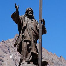
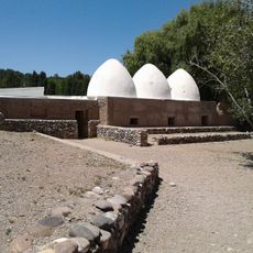
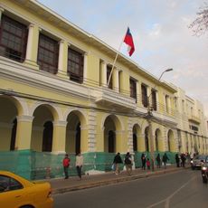
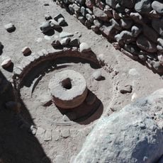
The former railway station near the bridge now houses a museum dedicated to mountaineering, where you can see equipment and artifacts from the region's climbing history. This place shows how central mountaineering has always been to the people living here.
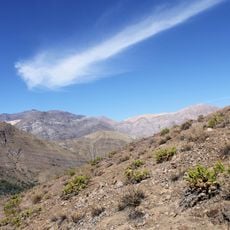
The site is accessible via Ruta Nacional 7 and features parking areas and observation points in designated viewing zones. Visit during warmer months when weather conditions are most favorable, as the high altitude and climate require consideration.
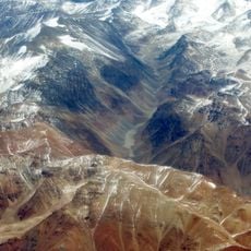
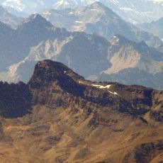
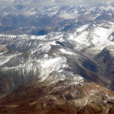
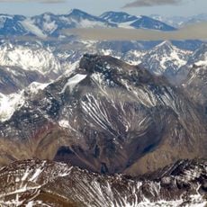
The bridge formed through a combination of glacial activity and mineral-rich hot springs, creating a petrified structure spanning the river. This natural process is uncommon and makes the location a rare geological phenomenon in the high Andes.
The community of curious travelers
AroundUs brings together thousands of curated places, local tips, and hidden gems, enriched daily by 60,000 contributors worldwide.