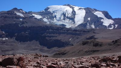
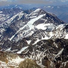
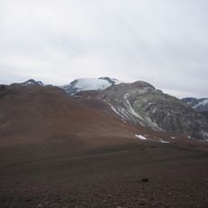
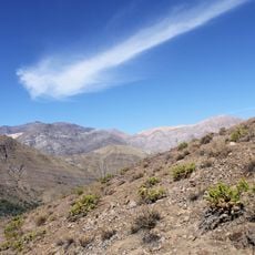
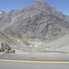
El Plomo, Mountain summit in central Andes, Chile.
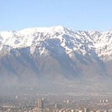
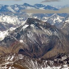
El Plomo is a mountain in the central Andes of Chile that rises to 5,434 meters (17,829 feet) and stands as the largest peak visible from Santiago. The summit features steep slopes and remains capped with snow and ice year-round in its upper sections.
The mountain was first climbed by Europeans in 1896 when Gustav Brandt and Rudolph Lucke reached the summit, marking an important milestone in regional mountaineering. Archaeological discoveries at the peak in later decades revealed evidence of earlier human activity at high elevation.
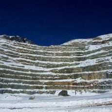
The name comes from Spanish, meaning "lead mountain," referring to mineral deposits that drew miners to the region for generations. Local communities see this peak as a landmark that defines their relationship with the surrounding Andes.
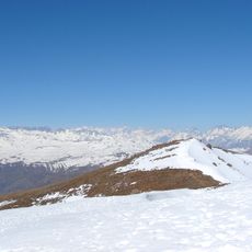
The best climbing season runs from November through March, when lower sections of the mountain have less snow cover. The route demands good physical fitness and mountaineering experience due to the altitude and steep terrain.
The mountain gained attention through a tragic 1932 plane crash that remained hidden under ice and snow until the wreckage was discovered in 1934. This finding revealed both the harsh weather conditions of the region and its role as a witness to human events at extreme altitude.
The community of curious travelers
AroundUs brings together thousands of curated places, local tips, and hidden gems, enriched daily by 60,000 contributors worldwide.