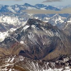
Tupungato Volcano, Extinct stratovolcano in Central Andes, Chile and Argentina.
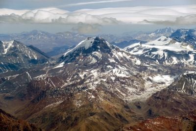
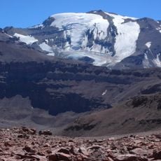
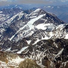
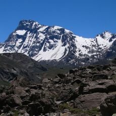
Tupungato Volcano is an extinct stratovolcano in the Central Andes between Chile and Argentina, reaching 6,570 meters (21,555 ft) in height. Its cone-shaped summit is surrounded by glaciers, and the flanks show the layered deposits of past eruptions.
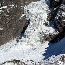
Matthias Zurbriggen and Stuart Vines reached the summit in 1897 as the first mountaineers during their Andes expedition. Later in 1947, an aircraft crashed into the glaciers on the north face, with wreckage parts uncovered only in 2000.
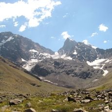
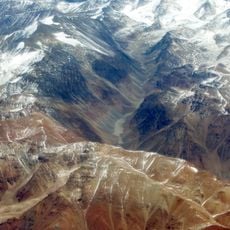
The name comes from Quechua and means viewpoint of the stars, because from up there you can see the night sky with almost no interfering light. People living in the valleys below see the mountain as a landmark and weather sign, since its summit stays covered with snow all year round.
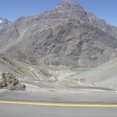
A full ascent takes around 13 days with several high-altitude camps and requires specialist equipment as well as the company of experienced mountain guides. The best travel window falls between December and March, when days are longer and weather becomes somewhat more stable.
The aircraft Star Dust vanished in 1947 during a flight across the Andes and remained missing for over 50 years. The wreckage emerged from the melting glacier only in 2000 and solved the mystery of the disappearance.
The community of curious travelers
AroundUs brings together thousands of curated places, local tips, and hidden gems, enriched daily by 60,000 contributors worldwide.