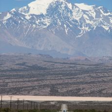
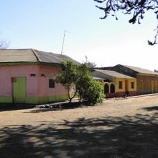
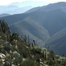
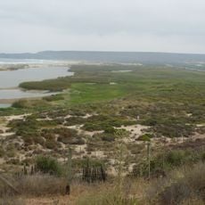
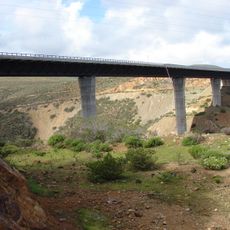
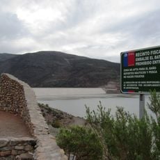
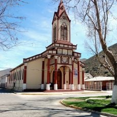
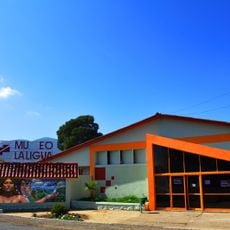
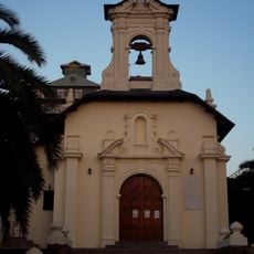
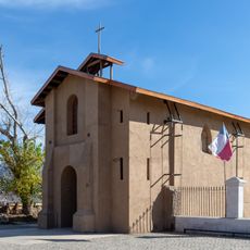
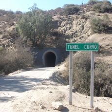
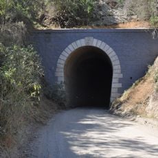
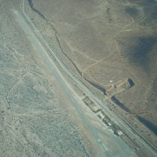
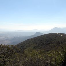
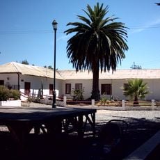
Illapel, comuna de Chile
The community of curious travelers
AroundUs brings together thousands of curated places, local tips, and hidden gems, enriched daily by 60,000 contributors worldwide.
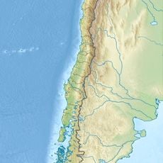
Location
Capital city
Illapel
Elevation above the sea
820 m
GPS coordinates
-31.54927,-70.97061
Latest update
April 3, 2025 13:58