
Ubinas District, district in Moquegua, Peru
Location: General Sánchez Cerro Province
Elevation above the sea: 3,376 m
Shares border with: San Juan de Tarucani District, Cabanillas District, Ichuña District, Yunga District, Lloque District, Chojata District, Matalaque District
GPS coordinates: -16.38672,-70.85589
Latest update: March 6, 2025 08:23
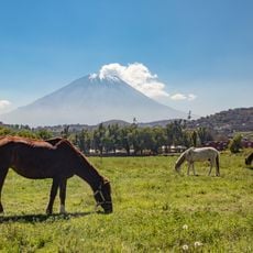
El Misti
59.5 km
Huaynaputina
25.5 km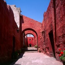
Historic Centre of Arequipa
72.5 km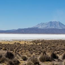
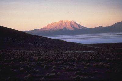
Ubinas
6.5 km
Salinas and Aguada Blanca National Reservation
50.1 km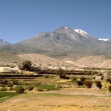
Chachani
75.3 km
Pichu Pichu
41.3 km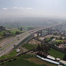
Chilina Bridge
72.5 km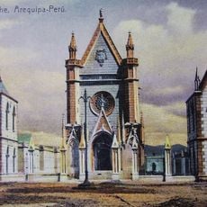
Hospital Goyeneche
71.7 km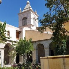
Saint Teresa Monastery
72.1 km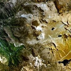
Ticsani
50.4 km
La Cárcel de Siglo XX
72 km
Hotel de turistas de Arequipa
72.3 km
Pukara
15.4 km
Q'uwa Laki
18.5 km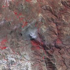
Pachakutiq (Arequipa-Moquegua)
21.7 km
Wilani
16.8 km
Parwayuni
13 km
Pukara
5.7 km
Takuni
31.4 km
Qillqata (Arequipa-Moquegua)
20.9 km
Pirhuane
14.6 km
Qhuyu Parwayuni
11.8 km
Hatun P'ukru
18 km
Santa Teresa
72.1 km
Pacoorcco
10.2 km
Pucasaya (Moquegua)
11.8 km
Wit'uni
8.3 kmReviews
Visited this place? Tap the stars to rate it and share your experience / photos with the community! Try now! You can cancel it anytime.
Discover hidden gems everywhere you go!
From secret cafés to breathtaking viewpoints, skip the crowded tourist spots and find places that match your style. Our app makes it easy with voice search, smart filtering, route optimization, and insider tips from travelers worldwide. Download now for the complete mobile experience.

A unique approach to discovering new places❞
— Le Figaro
All the places worth exploring❞
— France Info
A tailor-made excursion in just a few clicks❞
— 20 Minutes