Historic Centre of Arequipa, Colonial neighborhood in Arequipa, Peru
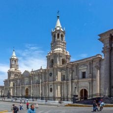
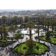
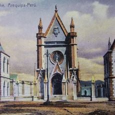
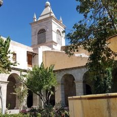
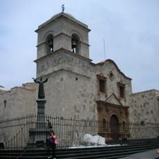
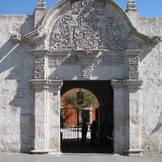
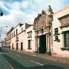
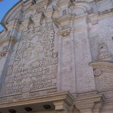
The Historic Centre of Arequipa is the founding core of the city, laid out in 1540 as a grid of 49 square blocks, each 111.4 metres on a side, separated by streets 10.3 metres wide. Its houses and churches are built of sillar, a pale volcanic stone, with semicircular arches and vaulted roofs. Walls are 1 to 1.5 metres thick in houses and over 2 metres in churches, joined with lime mortar.
Arequipa was founded on 15 August 1540, and the founding grid was laid out that day: 49 blocks of 400 Castilian feet (111.40 m) per side, separated by streets 10.30 m wide. The first chapel stood beside today's San Lázaro district, in a settlement of 850 by 875 m. The colonial buildings were largely destroyed by the 1868 earthquake, and most houses now standing date from the 19th century. UNESCO inscribed the centre in 2000.
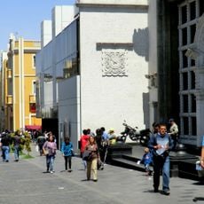
The neighborhood embodies colonial craftsmanship traditions, where white volcanic stone walls and paved streets have shaped daily life for centuries. Residents and merchants have developed their own rhythms here, closely tied to the distinctive building techniques and arrangement of the houses.
The center lies about 850 meters from Plaza de Armas and is accessible between Juan de la Torre and Jerusalem streets. Visiting is free with no entry fees, making it easy to explore at your own pace.
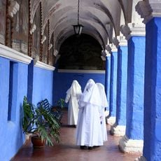
The 1540 founding grid used blocks of 400 Castilian feet (111.4 m) separated by streets 10.3 m wide, and the Plaza de Armas was placed off-centre, three blocks from the river. Some religious institutions, such as the Santa Catalina convent and the San Francisco monastery, came to occupy a whole block each.
The community of curious travelers
AroundUs brings together thousands of curated places, local tips, and hidden gems, enriched daily by 92,596 contributors worldwide.