Enable Location

We need your location to show you interesting places around you

Discover nearby places

Find interesting locations and hidden gems around you

Precise directions

Get accurate directions and distances to places

Your location is never shared with other users. It's only used when you tap the location button.

Arequipa District

Log in to your account

Start exploring — it's free

Trusted by 63,132 travelers worldwide

Continue with Google
Continue with Apple
or

We will send you a code to connect

By continuing, you accept our Terms and Conditions and our Privacy Policy

Check your inbox

We've sent a pincode in your inbox. Please enter the code below.

Discussion Reviews 2 Photos
15.8k Popularity

Arequipa District, Colonial district in Arequipa Province, Peru.

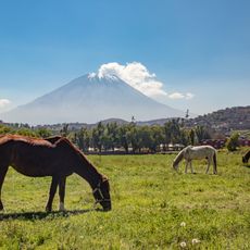
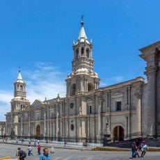
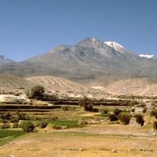
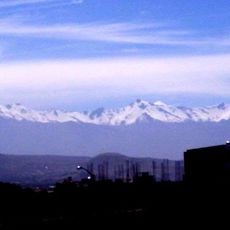
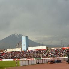
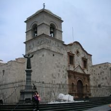
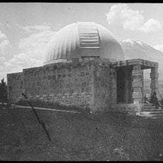
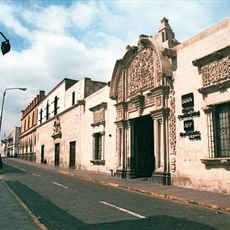
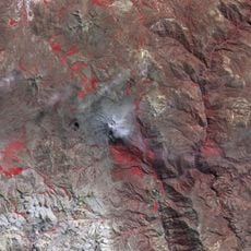
Arequipa District is an administrative zone in southern Peru at 2,337 meters elevation, defined by buildings constructed from white volcanic stone. Three major volcanoes, including Misti and Chachani, surround the area and form the dramatic backdrop.

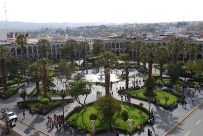
A Spanish military officer founded this administrative seat in 1540, establishing a key colonial center in the region. Over centuries, it developed into Peru's second largest urban area while maintaining its governance role.

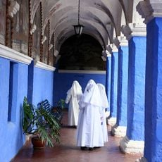
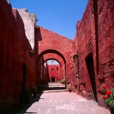
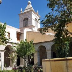
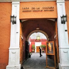
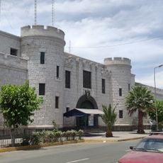
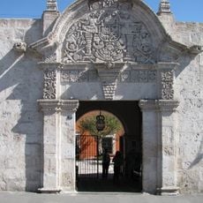
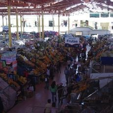
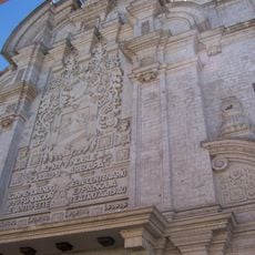
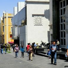
The architecture reflects Spanish and local traditions, with white volcanic stone quarried from nearby sources shaping the visual character. People gather in plazas and streets that serve as centers of community life where heritage and everyday routines blend together.

The climate is dry with temperatures ranging from 6 to 25 degrees Celsius, making visits possible year-round without weather concerns. The high elevation requires acclimatization time, though the flat street layout is easy to navigate.

The district comprises twenty-nine distinct neighborhoods, each with its own architectural character and local identity. Residents have shaped the sillar volcanic stone for generations, creating the varied appearance visible throughout the streets.

The community of curious travelers

AroundUs brings together thousands of curated places, local tips, and hidden gems, enriched daily by 60,000 contributors worldwide.

Start exploring
Capital city
Arequipa
Elevation above the sea
2,337 m
Shares border with
Yanahuara District, Alto Selva Alegre District, Miraflores District, Mariano Melgar District, Paucarpata District, José Luis Bustamante Districtes, Jacobo Hunter District, Sachaca District
GPS coordinates
-16.40194,-71.53889
Latest update
December 7, 2025 19:29
Reviews
Share your experience

No review yet

Discussions
Start a discussion...

No discussion yet

« Arequipa District - Colonial district in Arequipa Province, Peru » is provided by Around Us (aroundus.com). Images and texts are derived from Wikimedia project under a Creative Commons license. You are allowed to copy, distribute, and modify copies of this page, under the conditions set by the license, as long as this note is clearly visible.

Discover hidden gems everywhere you go!

From secret cafés to breathtaking viewpoints, skip the crowded tourist spots and find places that match your style. Our app makes it easy with voice search, smart filtering, route optimization, and insider tips from travelers worldwide. Download now for the complete mobile experience.

Around Us App Screenshot

A unique approach to discovering new places

Le Figaro

All the places worth exploring

France Info

A tailor-made excursion in just a few clicks

20 Minutes

Around Us
Travel Guide & Maps
Download

Send to your phone

QR Code
1

Open the camera app on your mobile.

2

Point at the QR code with your camera. A notification will appear.

3

Tap the notification to open the link.