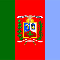
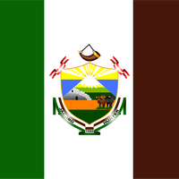
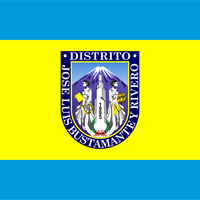
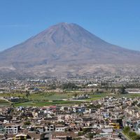
Arequipa Province, Administrative province in southern Peru
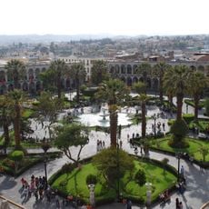
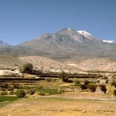
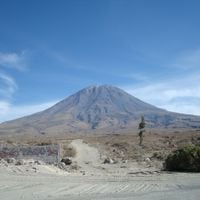
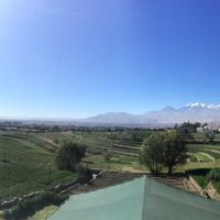
Arequipa Province is an administrative province in southern Peru that stretches across varied landscapes from desert terrain to Andean mountain ranges. The territory divides into 29 districts, each with its own local government managing community services.
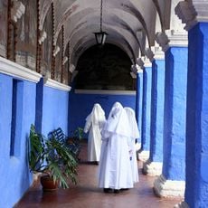
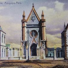
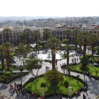
The province was recognized as a Spanish administrative center in 1540 and became important in the colonial structure of southern Peru. These early colonial foundations continue to shape local governance and settlement patterns today.
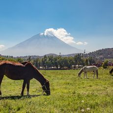
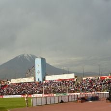
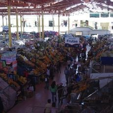
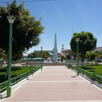
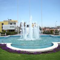
The province shows strong traditions through local celebrations, regional dances, and food that mixes Spanish colonial styles with Andean ingredients. You can experience this blend in everyday gatherings and at community markets.
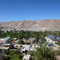
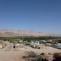
The different districts have varying elevations and climates, so dress appropriately and allow time for travel depending on which areas you visit. Local guides and transport options help navigate the widespread region.
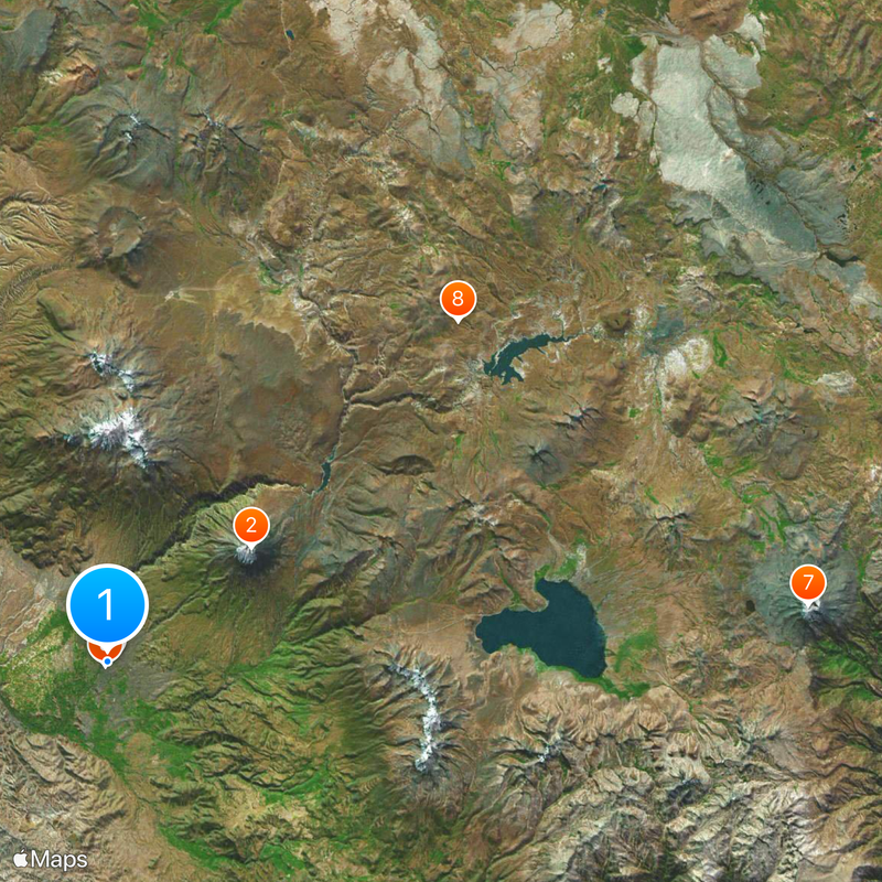
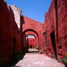
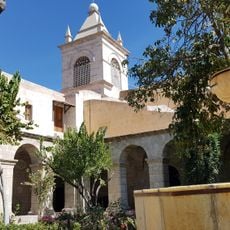
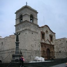
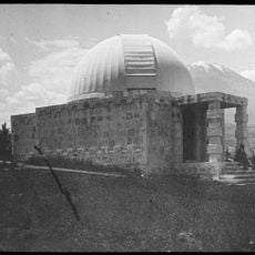
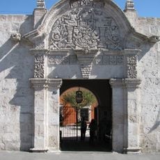
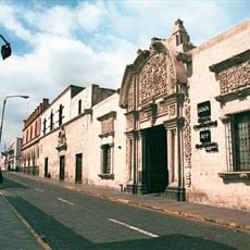
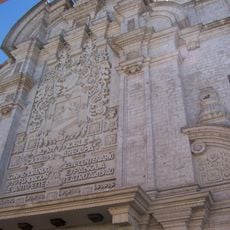
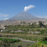
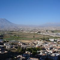
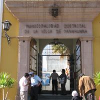
Local architecture uses white volcanic stone called sillar, quarried from deposits left by ancient volcanic activity in the area. This distinctive stone appears throughout settlements and gives communities a recognizable appearance.
Location: Arequipa Department
Capital city: Arequipa
Shares border with: Camaná Province, Caylloma Province, Islay Province, General Sánchez Cerro Province, San Román Province
GPS coordinates: -16.39882,-71.53688
Latest update: December 6, 2025 22:04
El Misti
17.9 km
Santa Catalina Monastery
426 m
Plaza de Armas of Arequipa
3 m
Historic Centre of Arequipa
660 m
Salinas and Aguada Blanca National Reservation
47.4 km
Arequipa District
408 m
Chachani
22.8 km
Pichu Pichu
32 km
Estadio Mariano Melgar
1.1 km
Chilina Bridge
1.9 km
Hospital Goyeneche
1.1 km
Puente de Fierro
1.8 km
Saint Teresa Monastery
669 m
Goyeneche Palace, Arequipa
4.7 km
Museo Santuarios Andinos
144 m
Puente Bolognesi
547 m
Basilica and Convent of San Francisco de Arequipa
475 m
Harvard Observatory, Arequipa
3 km
La Cárcel de Siglo XX
732 m
Casa del Moral
230 m
Casona Tristán del Pozo
129 m
Mercado San Camilo
487 m
Teatro Municipal, Arequipa
281 m
Hotel de turistas de Arequipa
1.1 km
Calle Mercaderes
266 m
Pachakutiq (Arequipa-Moquegua)
52.7 km
Takuni
43.3 km
Qillqata (Arequipa-Moquegua)
57.1 kmReviews
Visited this place? Tap the stars to rate it and share your experience / photos with the community! Try now! You can cancel it anytime.
Alto Selva Alegre District
Arequipa District
Cayma District
Cerro Colorado District
Characato District
Chiguata District
Jacobo Hunter District
José Luis Bustamante Districtes
La Joya District
Mariano Melgar District
Miraflores District
Mollebaya District
Paucarpata District
Pocsi District
Polobaya District
Quequeña District
Sabandía District
Sachaca District
San Juan de Siguas District
San Juan de Tarucani District
Santa Isabel de Siguas District
Santa Rita de Siguas District
Socabaya District
Tiabaya District
Uchumayo District
Vitor District
Yanahuara District
Yarabamba District
Yura District
Discover hidden gems everywhere you go!
From secret cafés to breathtaking viewpoints, skip the crowded tourist spots and find places that match your style. Our app makes it easy with voice search, smart filtering, route optimization, and insider tips from travelers worldwide. Download now for the complete mobile experience.
A unique approach to discovering new places❞
— Le Figaro
All the places worth exploring❞
— France Info
A tailor-made excursion in just a few clicks❞
— 20 Minutes