Enable Location

We need your location to show you interesting places around you

Discover nearby places

Find interesting locations and hidden gems around you

Precise directions

Get accurate directions and distances to places

Your location is never shared with other users. It's only used when you tap the location button.

Yanahuara District

Log in to your account

Start exploring — it's free

Trusted by 63,148 travelers worldwide

Continue with Google
Continue with Apple
or

We will send you a code to connect

By continuing, you accept our Terms and Conditions and our Privacy Policy

Check your inbox

We've sent a pincode in your inbox. Please enter the code below.

Yanahuara District
Discussion Reviews 1 Photos
17.2k Popularity

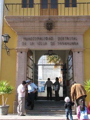
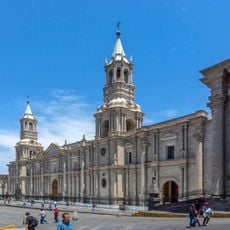
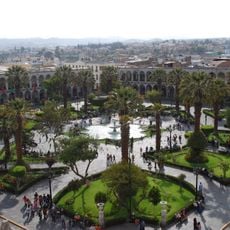
Yanahuara District, Colonial district in Arequipa, Peru

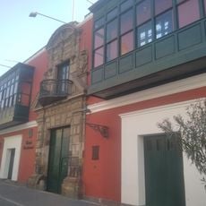
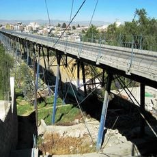
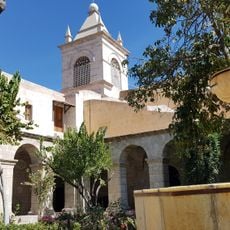
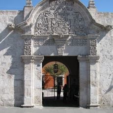
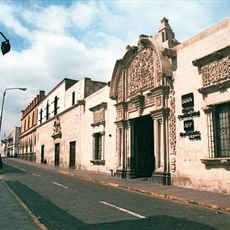
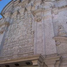
Yanahuara is a district in Arequipa located at about 2,390 meters elevation, distinguished by white volcanic stone buildings throughout its neighborhoods. The Avenida Ejercito runs through the center as a busy commercial corridor lined with banks, offices, and shops.

The district was established as an administrative unit following Peru's independence in 1822, marking the start of new local governance structures. This creation reflected Peru's reorganization after breaking from Spanish rule.

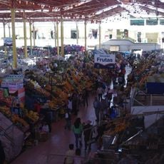
The neighborhood's markets display regional products, traditional foods, and crafts that blend indigenous and Spanish colonial heritage. You can see these traditions in everyday life as locals shop for ingredients and artisans sell their work along the streets.

The main hub for shops and services is along Avenida Ejercito, making it easy to navigate and find what you need. The elevated location means visitors should expect thinner air and may want to take time to adjust to the altitude.

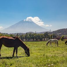
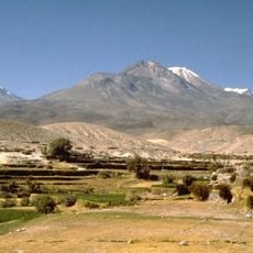
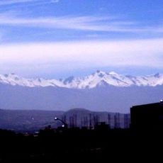
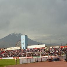
Several viewpoint terraces offer views of three volcanoes that surround Arequipa—Misti, Chachani, and Pichu Pichu—each visible from different angles. On clear days, these provide striking views and help visitors understand the dramatic landscape that shapes the region.

The community of curious travelers

AroundUs brings together thousands of curated places, local tips, and hidden gems, enriched daily by 60,000 contributors worldwide.

Start exploring
Capital city
Yanahuara
Elevation above the sea
2,390 m
Shares border with
Cerro Colorado District, Cayma District, Alto Selva Alegre District, Arequipa District, Sachaca District
GPS coordinates
-16.38738,-71.54210
Latest update
December 7, 2025 19:25
Reviews
Share your experience

No review yet

Discussions
Start a discussion...

No discussion yet

« Yanahuara District - Colonial district in Arequipa, Peru » is provided by Around Us (aroundus.com). Images and texts are derived from Wikimedia project under a Creative Commons license. You are allowed to copy, distribute, and modify copies of this page, under the conditions set by the license, as long as this note is clearly visible.

Discover hidden gems everywhere you go!

From secret cafés to breathtaking viewpoints, skip the crowded tourist spots and find places that match your style. Our app makes it easy with voice search, smart filtering, route optimization, and insider tips from travelers worldwide. Download now for the complete mobile experience.

Around Us App Screenshot

A unique approach to discovering new places

Le Figaro

All the places worth exploring

France Info

A tailor-made excursion in just a few clicks

20 Minutes

Around Us
Travel Guide & Maps
Download

Send to your phone

QR Code
1

Open the camera app on your mobile.

2

Point at the QR code with your camera. A notification will appear.

3

Tap the notification to open the link.