Enable Location

We need your location to show you interesting places around you

Discover nearby places

Find interesting locations and hidden gems around you

Precise directions

Get accurate directions and distances to places

Your location is never shared with other users. It's only used when you tap the location button.

Log in to your account

Start exploring — it's free

Trusted by 63,145 travelers worldwide

Continue with Google
Continue with Apple
or

We will send you a code to connect

By continuing, you accept our Terms and Conditions and our Privacy Policy

Check your inbox

We've sent a pincode in your inbox. Please enter the code below.

Cerro Colorado District
Discussion Reviews Photo
18.3k Popularity

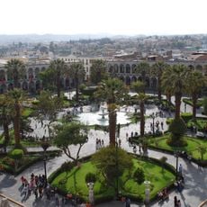
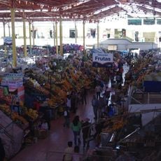
Cerro Colorado District, Administrative district in Arequipa Province, Peru.

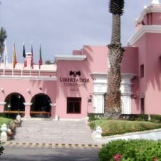
Cerro Colorado District is an administrative area in Arequipa Province in southern Peru. The district is centered around the capital city of La Libertad, which serves as the main hub for local government services and connects to surrounding communities.

The district was officially established on February 26, 1954, through Law No. 12075 during the presidency of Manuel A. Odría. This official creation marked a key moment in the administrative organization of the Arequipa region.

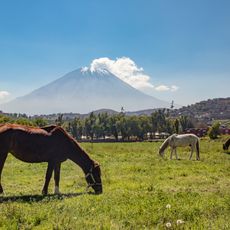
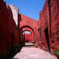
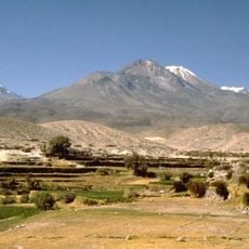
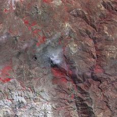
The name comes from the red soil of the old town area, known locally as Cerro Viejo, which reflects the distinctive ground composition. This geological feature continues to shape how settlements appear throughout the area.

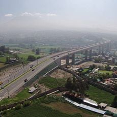
The district capital La Libertad is connected by bus routes to other parts of Arequipa Province. Visitors can find basic services and administrative facilities concentrated in this central location.

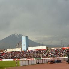
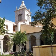
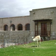
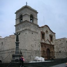
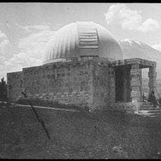
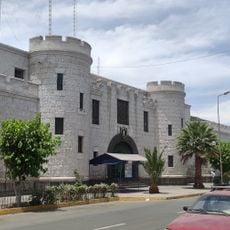
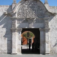
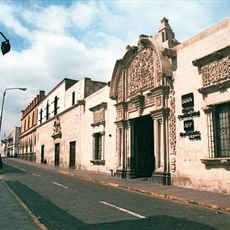
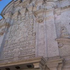
The district's coat of arms was designed in 1992 by Pablo Díaz Villegas and represents local identity. Many buildings in the area are constructed from white volcanic stone, which gives the landscape a distinctive appearance.

The community of curious travelers

AroundUs brings together thousands of curated places, local tips, and hidden gems, enriched daily by 60,000 contributors worldwide.

Start exploring
Capital city
La Libertad
Elevation above the sea
2,400 m
Shares border with
Yura District, Cayma District, Yanahuara District, Sachaca District, Tiabaya District, Uchumayo District
GPS coordinates
-16.37680,-71.56033
Latest update
December 7, 2025 19:22
Reviews
Share your experience

No review yet

Discussions
Start a discussion...

No discussion yet

« Cerro Colorado District - Administrative district in Arequipa Province, Peru » is provided by Around Us (aroundus.com). Images and texts are derived from Wikimedia project under a Creative Commons license. You are allowed to copy, distribute, and modify copies of this page, under the conditions set by the license, as long as this note is clearly visible.

Discover hidden gems everywhere you go!

From secret cafés to breathtaking viewpoints, skip the crowded tourist spots and find places that match your style. Our app makes it easy with voice search, smart filtering, route optimization, and insider tips from travelers worldwide. Download now for the complete mobile experience.

Around Us App Screenshot

A unique approach to discovering new places

Le Figaro

All the places worth exploring

France Info

A tailor-made excursion in just a few clicks

20 Minutes

Around Us
Travel Guide & Maps
Download

Send to your phone

QR Code
1

Open the camera app on your mobile.

2

Point at the QR code with your camera. A notification will appear.

3

Tap the notification to open the link.