Enable Location

We need your location to show you interesting places around you

Discover nearby places

Find interesting locations and hidden gems around you

Precise directions

Get accurate directions and distances to places

Your location is never shared with other users. It's only used when you tap the location button.

Paucarpata District

Log in to your account

Start exploring — it's free

Trusted by 63,148 travelers worldwide

Continue with Google
Continue with Apple
or

We will send you a code to connect

By continuing, you accept our Terms and Conditions and our Privacy Policy

Check your inbox

We've sent a pincode in your inbox. Please enter the code below.

Paucarpata District
Discussion Reviews 1 Photos
13.3k Popularity

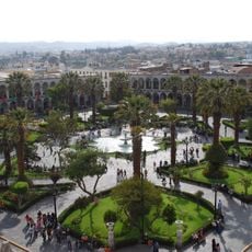
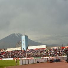
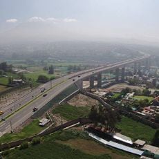
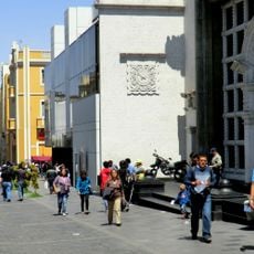
Paucarpata District, Administrative district in Arequipa Province, Peru

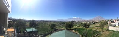
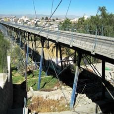
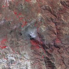
Paucarpata District is an administrative area within Arequipa Province that covers terrain in the metropolitan region. Several seasonal streams and the Andamayo River run through the territory, carving out natural channels across the slopes.

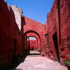
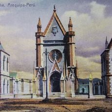
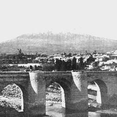
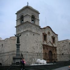
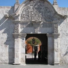
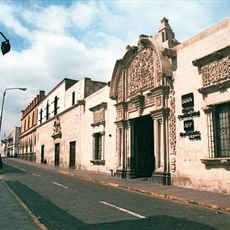
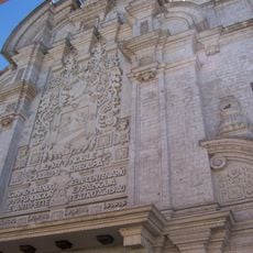
Spanish Captain Juan Maldonado de Buendía founded a villa here in 1572, marking European settlement in the area. In 1825, Simón Bolívar granted it district status, formalizing its administrative role in the modern era.

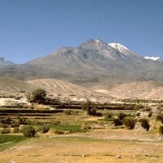
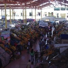
The slopes still feature agricultural terraces where farmers grow crops using methods passed down through generations. These cultivated fields shape the landscape and reveal how people have worked with the terrain for centuries.

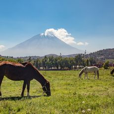
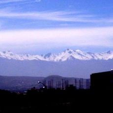
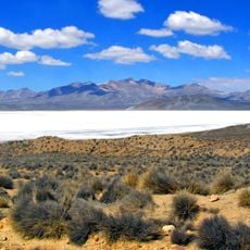
The district sits at high elevation, so visitors should expect hilly terrain and possible effects from the altitude. Visiting during the dry season makes exploring easier, as roads and pathways are most accessible then.

The area lies within the Yunga zone, a distinctive geographic region between the high plateau and wetter valleys. This intermediate elevation creates its own climate and plant life found nowhere else in the Andes.

The community of curious travelers

AroundUs brings together thousands of curated places, local tips, and hidden gems, enriched daily by 60,000 contributors worldwide.

Start exploring
Elevation above the sea
2,405 m
Shares border with
José Luis Bustamante Districtes, Sabandía District, Chiguata District, Mariano Melgar District, Arequipa District
GPS coordinates
-16.42007,-71.47800
Latest update
December 7, 2025 20:40
Reviews
Share your experience

No review yet

Discussions
Start a discussion...

No discussion yet

« Paucarpata District - Administrative district in Arequipa Province, Peru » is provided by Around Us (aroundus.com). Images and texts are derived from Wikimedia project under a Creative Commons license. You are allowed to copy, distribute, and modify copies of this page, under the conditions set by the license, as long as this note is clearly visible.

Discover hidden gems everywhere you go!

From secret cafés to breathtaking viewpoints, skip the crowded tourist spots and find places that match your style. Our app makes it easy with voice search, smart filtering, route optimization, and insider tips from travelers worldwide. Download now for the complete mobile experience.

Around Us App Screenshot

A unique approach to discovering new places

Le Figaro

All the places worth exploring

France Info

A tailor-made excursion in just a few clicks

20 Minutes

Around Us
Travel Guide & Maps
Download

Send to your phone

QR Code
1

Open the camera app on your mobile.

2

Point at the QR code with your camera. A notification will appear.

3

Tap the notification to open the link.