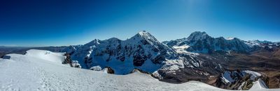
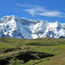
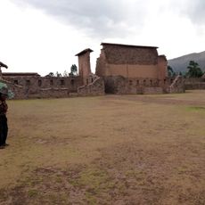
Cordillera Vilcanota, Mountain range between Cusco and Puno, Peru.
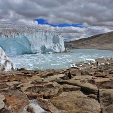
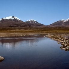
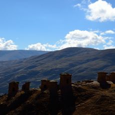
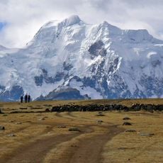
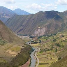
The Cordillera Vilcanota is a mountain range in southeastern Peru between Cusco and Puno with multiple high peaks and extensive glacier coverage. The landscape is defined by deep valleys, rocky slopes, and a series of lakes of varying sizes.
The range took shape through geological processes that formed the high plateau of southern Peru, creating rivers like the San Gabán and Azángaro. These waterways continue to define the boundaries and ecological character of the area today.
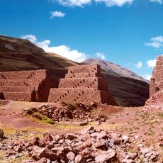
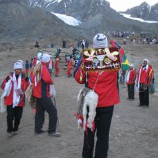
The mountain range carries names rooted in Quechua and Aymara languages, reflecting how indigenous communities have understood and moved through this landscape. Local people traditionally use the high passes and valleys as passage routes that connect different regions.
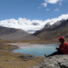
Visitors can explore the mountain range on foot using established trekking routes, ideally between May and September when conditions are most stable. Higher elevations require acclimatization since the air is thin at altitude, and physical preparation beforehand is advisable.
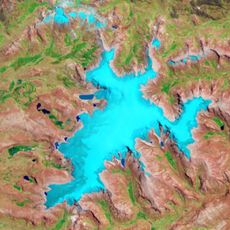
The range holds more than 20 alpine lakes at various elevations, with several sitting above 4000 meters (13000 feet) high. These water bodies are ecologically valuable and create small pockets of life in the otherwise sparse mountain terrain.
The community of curious travelers
AroundUs brings together thousands of curated places, local tips, and hidden gems, enriched daily by 60,000 contributors worldwide.