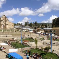
Cotabambas Province, Administrative province in Apurimac region, Peru
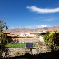
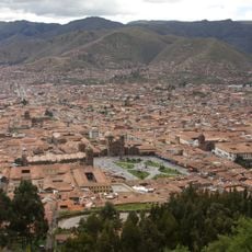
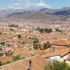
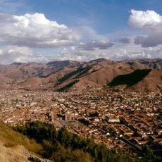
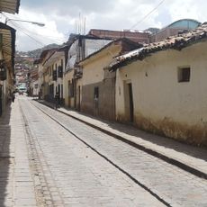
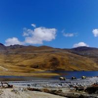
Cotabambas Province spreads across mountainous terrain in the Andes with elevations reaching up to 4,800 meters (15,748 feet). The territory encompasses six districts divided by river systems that shape the landscape.
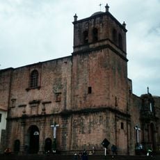
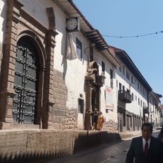
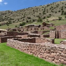
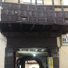
The region was inhabited in pre-Columbian times and contains archaeological sites scattered across the six districts. These locations reveal how earlier peoples lived and organized themselves in these mountains.
Quechua remains the primary language spoken in daily life across the communities here, shaping how people interact and connect with one another. The language ties residents to centuries of local tradition and identity.
Higher elevations require acclimatization due to altitude, so visitors should arrive gradually and stay hydrated throughout their time. Good footwear is essential since trails can be steep and weather can change quickly.
Different altitudes enable the cultivation of varied crops within a small area, shaping local farming practices. Corn grows in the lower valleys while higher zones produce potatoes suited to the cooler climate.
Location: Apurimac Department
Capital city: Tambobamba
Shares border with: Abancay Province, Antabamba Province, Grau Province, Anta Province, Chumbivilcas Province, Paruro Province
GPS coordinates: -13.94611,-72.17444
Latest update: December 7, 2025 19:23
National School of Sciences and Arts
51.9 km
Mercado Central de San Pedro
51.6 km
Plaza San Francisco, Cusco
52 km
Arco de Santa Clara
51.9 km
San Francisco Church
52 km
Hospital Antonio Lorena
51.1 km
Pikchu
51.9 km
Colegio San Bernardo
52 km
Muyu Urqu
50.7 km
Teatro Municipal del Cusco
51.9 km
Our Lady of la Almudena Church
50.8 km
Church of Belén
51.1 km
Wayna Tawqaray
51.5 km
Mawk'allaqta
34.9 km
House of the Marquess of Saint Lorenzo of Valle Umbroso
52 km
Hospital de la Almudena
50.8 km
Calle Hospital
51.5 km
Araway Qhata
50 km
Plazoleta de la Almudena
50.9 km
Puente Almudena
51.3 km
Belen Square
51.2 km
Calle San Pedro
51.6 km
Anahuarque
47.4 km
Calle Santa Clara
51.9 km
Calle Almudena
51.2 km
Casa Álvarez
51.9 km
Casa de Ildefonso Muñecas
51.7 km
Casa Gonzales Willis
51.9 kmVisited this place? Tap the stars to rate it and share your experience / photos with the community! Try now! You can cancel it anytime.
Discover hidden gems everywhere you go!
From secret cafés to breathtaking viewpoints, skip the crowded tourist spots and find places that match your style. Our app makes it easy with voice search, smart filtering, route optimization, and insider tips from travelers worldwide. Download now for the complete mobile experience.
A unique approach to discovering new places❞
— Le Figaro
All the places worth exploring❞
— France Info
A tailor-made excursion in just a few clicks❞
— 20 Minutes