Chest opened
+${chestReward.xp} XP
Explorer
NOUVEAU ×${chestReward.collectible.quantity}
tapez pour fermer
Chest locked

Open chests in the app

Around Us is built for your phone — chests unlock when you walk, explore and capture nearby places.

Enable Location

We need your location to show you interesting places around you

Discover nearby places

Find interesting locations and hidden gems around you

Precise directions

Get accurate directions and distances to places

Your location is never shared with other users. It's only used when you tap the location button.

Huallaga River

Log in to your account

Start exploring — it's free

Trusted by 72,878 travelers worldwide

Continue with Google
Continue with Apple
or

We will send you a code to connect

By continuing, you accept our Terms and Conditions and our Privacy Policy

Check your inbox

We've sent a pincode in your inbox. Please enter the code below.

Huallaga River
Discussion Reviews 1 Photos
27.1k Popularity

Huallaga River, River system in central and northern Peru

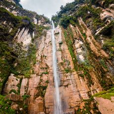
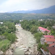
The Huallaga River is a major river system in central and northern Peru spanning roughly 1,100 kilometers from the Andes to its confluence with the Marañón. It carves through mountain gorges and valleys before joining this larger river as part of the Amazon Basin.

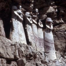
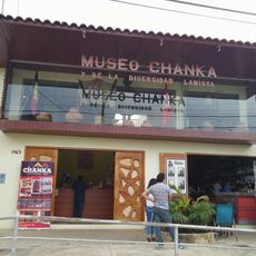
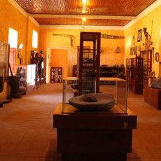
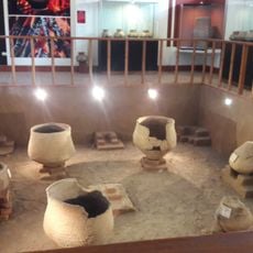
Indigenous peoples established settlements along the river long before Spanish explorers arrived and used it as a primary transport route through the region. The river remained central to regional trade and movement patterns throughout subsequent centuries.

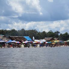
Local communities continue fishing and farming along the river using methods passed down through generations that shape daily life. These practices remain closely tied to the water's rhythm and seasonal changes.

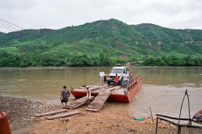
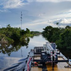
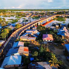
The river becomes navigable for larger boats starting from the city of Yurimaguas, after passing through multiple rapids. Visitors should expect varying water levels and occasional strong currents when traveling along this stretch.

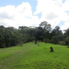
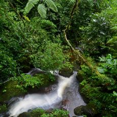
Between the Huallaga and Ucayali rivers lies the Pampa del Sacramento, a region of stoneless alluvial land covered by dense forest. This area is ecologically significant and often overlooked by visitors to the broader Amazon region.

The community of curious travelers

AroundUs brings together thousands of curated places, local tips, and hidden gems, enriched daily by 60,000 contributors worldwide.

Start exploring
Location
GPS coordinates
-5.10338,-75.59783
Latest update
December 20, 2025 14:16
Reviews
Share your experience

No review yet

Discussions
Start a discussion...

No discussion yet

« Huallaga River - River system in central and northern Peru » is provided by Around Us (aroundus.com). Images and texts are derived from Wikimedia project under a Creative Commons license. You are allowed to copy, distribute, and modify copies of this page, under the conditions set by the license, as long as this note is clearly visible.

Discover hidden gems everywhere you go!

From secret cafés to breathtaking viewpoints, skip the crowded tourist spots and find places that match your style. Our app makes it easy with voice search, smart filtering, route optimization, and insider tips from travelers worldwide. Download now for the complete mobile experience.

Around Us App Screenshot

A unique approach to discovering new places

Le Figaro

All the places worth exploring

France Info

A tailor-made excursion in just a few clicks

20 Minutes

Around Us
Travel Guide & Maps
Download

Send to your phone

QR Code
1

Open the camera app on your mobile.

2

Point at the QR code with your camera. A notification will appear.

3

Tap the notification to open the link.