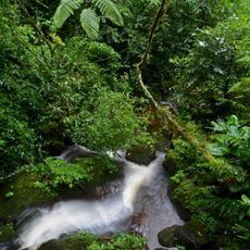
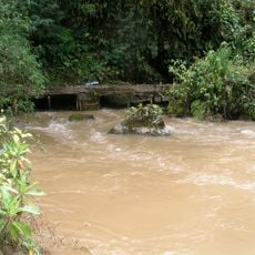
Cumbaza River, Brook in Province of Lamas, Peru.
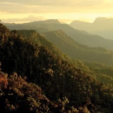
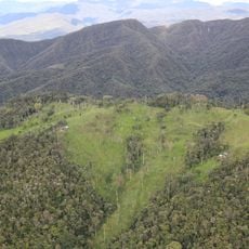
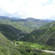
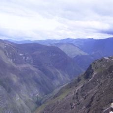
The Cumbaza River is a waterway in San Martin that originates high in the Cordillera Escalera conservation area. It flows through varied terrain across the region, shaping the landscape as it moves toward lower elevations.
A major flood in 1910 forced residents of San Roque to move their settlement away from the riverbanks to higher ground. This event left a lasting mark on the region's local history.
The river gives its name to the districts it crosses: San Roque de Cumbaza, San Antonio de Cumbaza and San Pedro de Cumbaza, settlements founded along its upper course. Its lower stretch, with meanders and the Shilcayo tributary, borders the urban area of Tarapoto and Morales, where the riverbanks are used for everyday recreation.
The river is reached from Tarapoto, which it skirts on the west at kilometre 27; the lower 25 km run south-southeast with many meanders. The Shilcayo joins from the left at kilometre 17, and the Cumbaza meets the Mayo at about 200 m elevation. Access points lie near Morales, Juan Guerra and La Banda de Shilcayo.
The waterway feeds into a network of water bodies including the Ricuricocha lagoon, which is embedded within the broader hydrographic system of the region. This connection reveals how the river forms part of a larger water network.
The community of curious travelers
AroundUs brings together thousands of curated places, local tips, and hidden gems, enriched daily by 93,806 contributors worldwide.