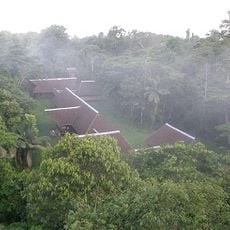
Puerto Maldonado, Rainforest gateway city in Madre de Dios, Peru.
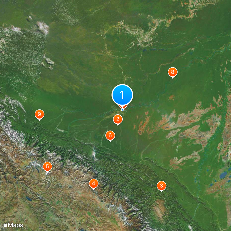
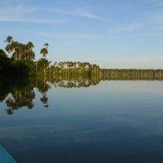
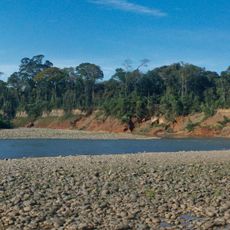
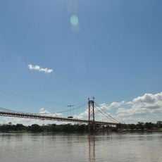
Puerto Maldonado sits where the Tambopata and Madre de Dios rivers meet, surrounded by dense jungle at an elevation of 183 meters. The streets are mostly unpaved and turn into muddy paths during rainy season, while wooden walkways and small docks for boats line the riverbanks.
The settlement began in 1902 as a river station during the Amazon rubber boom. The construction of the Interoceanic Highway in the 2000s connected it by land to the Andes for the first time, bringing new traders and settlers to the region.
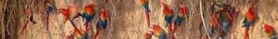
Residents sell Brazil nuts at local markets and transport goods in narrow wooden boats along the rivers. Fishermen return each morning with fresh catches, while families live in open houses made of wood and corrugated metal that adapt to the heat and frequent rains.
Flights from Lima or Cusco land at the airport near the town, while overland buses take about ten hours to cross the Andes. Most lodging and restaurants concentrate near the main square and waterfront, where boats depart for jungle lodges.
Motorcycles dominate traffic in the dusty lanes because they handle potholes and muddy patches better than cars. Market stalls along the waterfront sell fresh fish in the mornings, caught from nets still sitting in nearby boats.
The community of curious travelers
AroundUs brings together thousands of curated places, local tips, and hidden gems, enriched daily by 60,000 contributors worldwide.