
Zorritos, district in Tumbes, Peru
Location: Contralmirante Villar Province
Capital city: Zorritos
Elevation above the sea: 6 m
Shares border with: Canoas de Punta Sal, Casitas, La Cruz, San Jacinto
GPS coordinates: -3.68053,-80.67974
Latest update: March 10, 2025 08:24

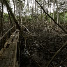
Tumbes Mangals National Sanctuary
53.5 km
Churute Mangroves Ecological Reserve
168.6 km
Arenillas Ecological Reserve
61.1 km
Basilica of El Cisne
140.5 km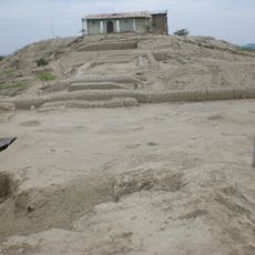
Narihualá
179.7 km
Poechos Reservoir
111.7 km
Estadio Miguel Grau
168.4 km
Tumbes National Reserve
48.5 km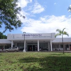
Hospital de Especialidades Teodoro Maldonado Carbo
183.1 km
Cathedral of Loja-Parroquia El Sagrario
167.9 km
Playa Varadero
114.6 km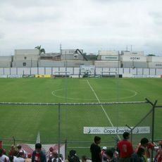
Estadio Alejandro Ponce Noboa
180.5 km
Casa Museo Gran Almirante Grau
169 km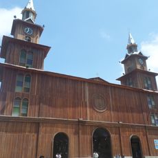
Catedral Emperatriz de Santa Elena
163.1 km
Puente Bolognesi
169.3 km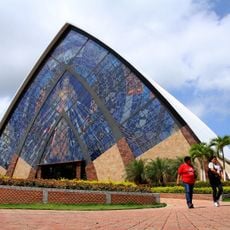
Divine Mercy Sanctuary
173.5 km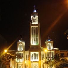
Our Lady of Mercy Cathedral, Machala
91.6 km
Iglesia San Juan Bautista, Catacaos
177.8 km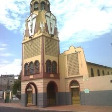
Iglesia del Cristo del Consuelo
184 km
Church of Our Lady of the Pillar
151.2 km
Jardín botánico Reinaldo Espinosa
106.7 km
Cerro de Arcos
136.2 km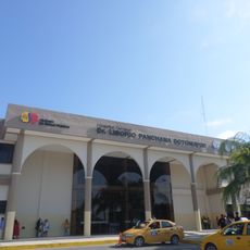
Hospital Liborio Panchana Sotomayor
162.4 km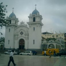
St. Nicholas Cathedral, Tumbes
27.2 km
Macará River
90 km
Tren Crucero
167.2 km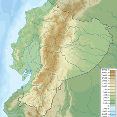
Cañar River
152.6 km
Balao Grande River
128.6 kmReviews
Visited this place? Tap the stars to rate it and share your experience / photos with the community! Try now! You can cancel it anytime.
Discover hidden gems everywhere you go!
From secret cafés to breathtaking viewpoints, skip the crowded tourist spots and find places that match your style. Our app makes it easy with voice search, smart filtering, route optimization, and insider tips from travelers worldwide. Download now for the complete mobile experience.

A unique approach to discovering new places❞
— Le Figaro
All the places worth exploring❞
— France Info
A tailor-made excursion in just a few clicks❞
— 20 Minutes