
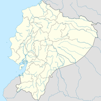
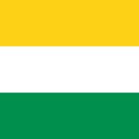
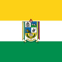
Guayas Province, Pacific coastal province in Ecuador
The province extends across 17,139 square kilometers of land, from coastal areas to fertile agricultural regions along the Guayas River delta system.
The territory gained provincial status on June 25, 1824, establishing Guayaquil as its capital and primary port for maritime trade in Ecuador.
The provincial population includes Mestizos, Montubios, Afro-Ecuadorians, and Indigenous communities, each contributing to regional traditions and festivities.
The public transportation network connects 25 cantons through regular bus services, with Guayaquil serving as the central transportation hub.
The Guayas River basin represents the largest river system on the western side of South America's Andes Mountains.
Location: Ecuador
Inception: June 25, 1824
Capital city: Guayaquil
Elevation above the sea: 15 m
Shares border with: Santa Elena Province, Manabí Province, Los Ríos Province, Bolívar Province, Chimborazo Province, Cañar Province, Azuay Province, El Oro Province
Address: Guayas, Ecuador EC09
Website: https://guayas.gob.ec
GPS coordinates: -1.90000,-79.80000
Latest update: May 19, 2025 14:17
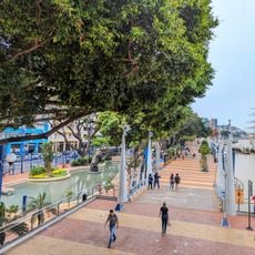
Malecón 2000
33.9 km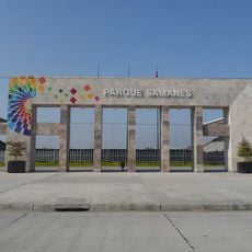
Park Samanes
24.6 km
Parque Histórico de Guayaquil
28.4 km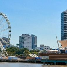
La Perla
33 km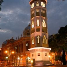
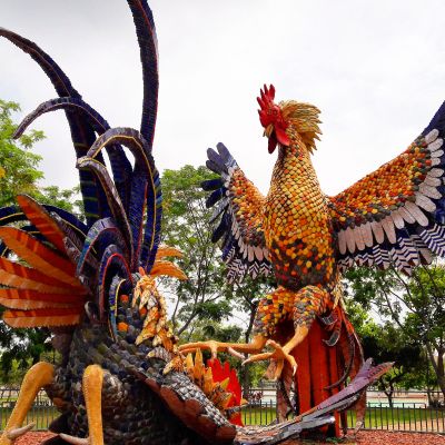
Torre Morisca, Guayaquil
33.9 km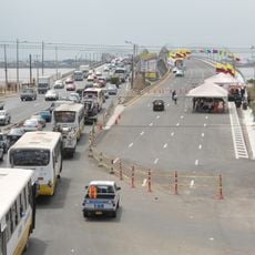
National Unity Bridge
29.4 km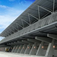
Terminal Terrestre de Guayaquil
28.5 km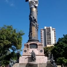
Columna de los Próceres de 1820
33.7 km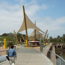
Malecón del Salado
33.8 km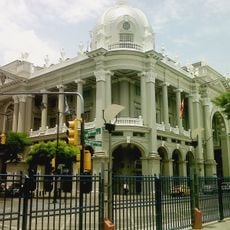
Palacio Municipal de Guayaqui
34.1 km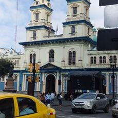
San Francisco Church, Guayaquil
33.8 km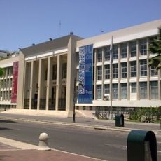
Biblioteca Municipal de Guayaquil
34.3 km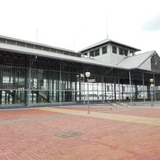
Palacio de Cristal de Guayaquil
34.9 km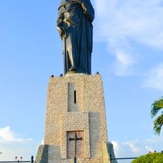
Monumento al Sagrado Corazón
32.6 km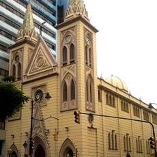
Basilica La Merced
33.5 km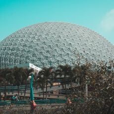
Teatro Centro Cívico Eloy Alfaro
36.2 km
Jardín botánico de Guayaquil
23.4 km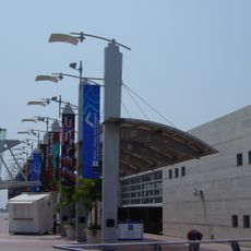
Museo Antropologico y de Arte Contemporaneo
32.8 km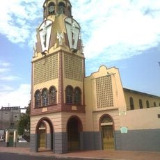
Iglesia del Cristo del Consuelo
37.4 km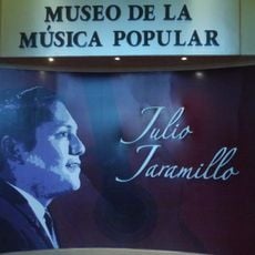
Museo Municipal de la Música Popular Julio Jaramillo
32.4 km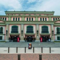
Teatro Sánchez Aguilar
28 km
Cárcel Municipal de Guayaquil
32.8 km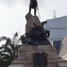
Monumento a Antonio José de Sucre, Guayaquil
34 km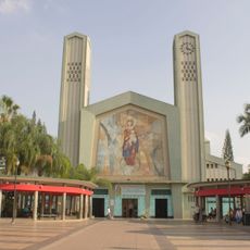
Our Lady of Mercy Cathedral, Babahoyo
31.9 km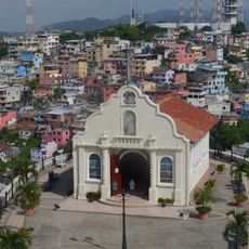
Capilla del Cerro Santa Ana
32.4 km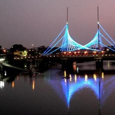
Velero Bridge
34.1 km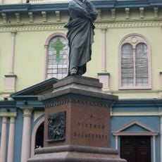
Monumento a Vicente Rocafuerte
33.7 km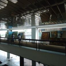
Luis Adolfo Noboa Naranjo Museum
33.6 kmReviews
Visited this place? Tap the stars to rate it and share your experience / photos with the community! Try now! You can cancel it anytime.
Alfredo Baquerizo Moreno Canton
Balao Canton
Balzar Canton
Colimes Canton
Coronel Marcelino Maridueña Canton
Daule Canton
Durán Canton
El Empalme Canton
El Triunfo

General Antonio Elizalde Canton
Guayaquil
Isidro Ayora Canton
Lomas de Sargentillo Canton
Milagro Canton
Naranjal Canton

Naranjito Canton
Nobol Canton
Palestina Canton
Pedro Carbo Canton
Playas Canton
Salitre Canton
Samborondón Canton
Santa Lucía Canton
Simón Bolívar Canton
Yaguachi Canton
Discover hidden gems everywhere you go!
From secret cafés to breathtaking viewpoints, skip the crowded tourist spots and find places that match your style. Our app makes it easy with voice search, smart filtering, route optimization, and insider tips from travelers worldwide. Download now for the complete mobile experience.

A unique approach to discovering new places❞
— Le Figaro
All the places worth exploring❞
— France Info
A tailor-made excursion in just a few clicks❞
— 20 Minutes