
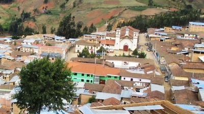
Tayabamba District, district in La Libertad, Peru
Location: Pataz Province
Capital city: Tayabamba
Elevation above the sea: 3,203 m
Shares border with: Ongón District, Shunte District, Huancaspata District, Urpay District, Taurija District, Buldibuyo District, Huaylillas District
GPS coordinates: -8.27667,-77.29639
Latest update: March 4, 2025 15:20

Artesonraju
83.8 km
Río Abiseo National Park
58.9 km
Gran Pajáten
93.1 km
Cañón del Pato
93.6 km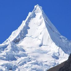
Alpamayo
77.7 km
Huandoy
92 km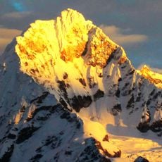
Chopicalqui
95.2 km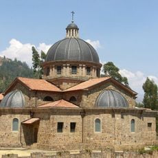
Peregrinación del Señor de Pumallucay
91.2 km
Chacraraju
87.3 km
Pisco
89.6 km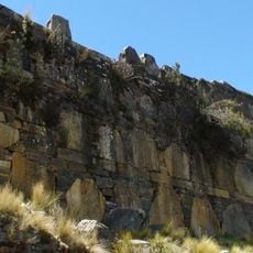
Yaynu
70.1 km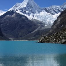
Pirámide
85.6 km
Quitaraju
79.8 km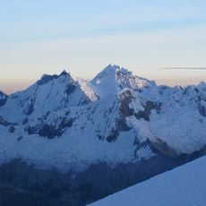
Santa Cruz
82.4 km
Caraz
87.4 km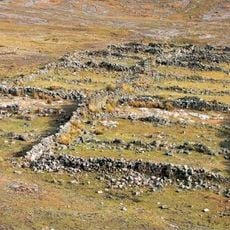
Maray Qalla
89.5 km
Arhuay Glacier
75.6 km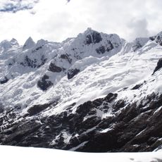
Contrahierbas
94.8 km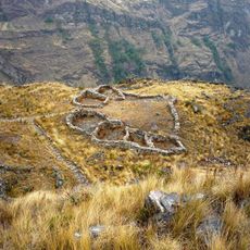
Huajramarca
101.2 km
Yanapaccha
88.9 km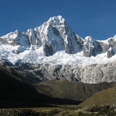
Taulliraju
75 km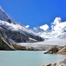
Artesonraju Glacier
83.9 km
Pucajirca
71.8 km
Santa Cruz Creek
93.8 km
Yanarrajo
90.5 km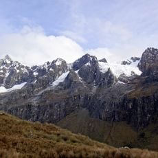
Tuctubamba
75.5 km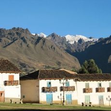
Nevado Camchas
93.8 km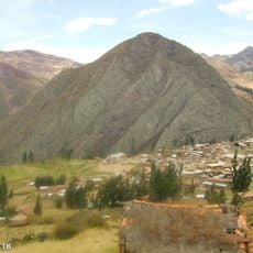
Angasmarca Temple
85.2 kmReviews
Visited this place? Tap the stars to rate it and share your experience / photos with the community! Try now! You can cancel it anytime.
Discover hidden gems everywhere you go!
From secret cafés to breathtaking viewpoints, skip the crowded tourist spots and find places that match your style. Our app makes it easy with voice search, smart filtering, route optimization, and insider tips from travelers worldwide. Download now for the complete mobile experience.

A unique approach to discovering new places❞
— Le Figaro
All the places worth exploring❞
— France Info
A tailor-made excursion in just a few clicks❞
— 20 Minutes