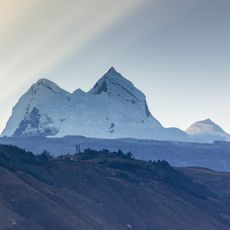
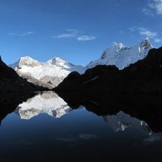
Chopicalqui, Mountain peak in Cordillera Blanca, Peru
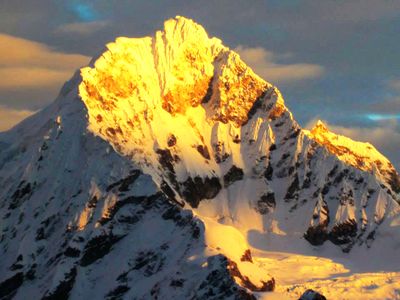
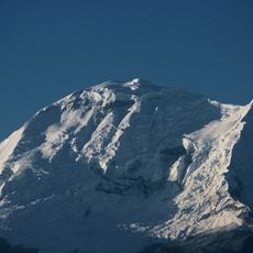
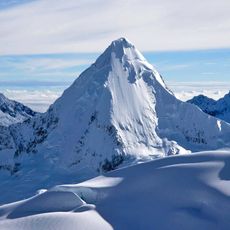
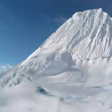
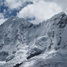
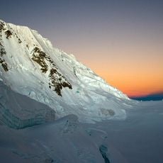
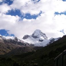
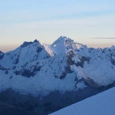
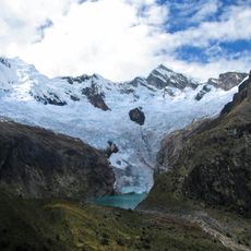
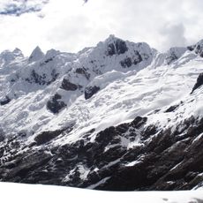
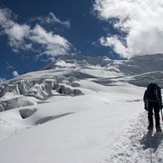
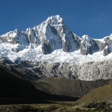
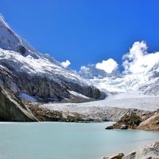
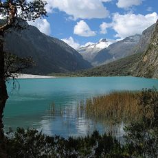
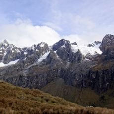
Chopicalqui is a summit in the Cordillera Blanca standing at 6,354 meters, characterized by steep granite slopes with significant ice formations building along the southwest ridge. The route to the top demands technical climbing skills and passage through complex terrain with crevasses and seracs.
The first documented ascent took place in 1932 when German mountaineers H. Hoerlin, E. Schneider, P. Borchers, and E. Hein climbed the southwest ridge. This achievement marked an early success in exploring the Cordillera Blanca's highest peaks during the era of alpine expeditions.
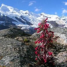
The name comes from Huaylas Quechua, blending 'Chawpi' meaning center with 'kallki' meaning ravine, a reflection of local indigenous heritage. This linguistic connection shows how Andean peoples perceived and named their mountain landscape.
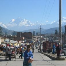
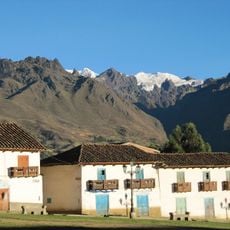
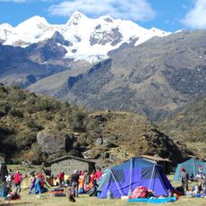
Climbers typically start from Huaraz and plan for four days to reach the summit, using established camps at different elevation levels. Good physical preparation and experience with high alpine climbing are essential for a safe and successful ascent.
The mountain presents serious technical climbing challenges with sections reaching 75-80 degree angles, requiring careful navigation through extensive crevasse fields and ice towers. This complexity makes it a proving ground for experienced alpinists working to sharpen their ice climbing skills.
The community of curious travelers
AroundUs brings together thousands of curated places, local tips, and hidden gems, enriched daily by 60,000 contributors worldwide.