Ulta, Mountain summit in Ancash Department, Peru
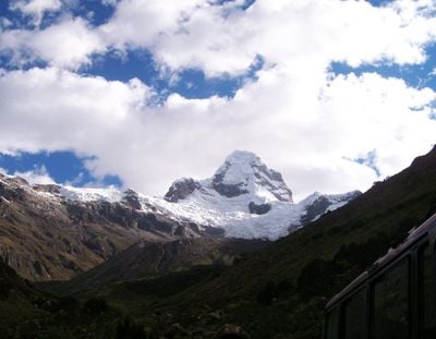
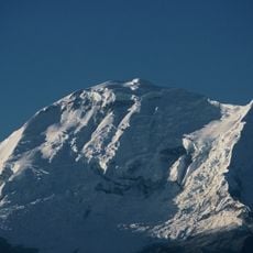
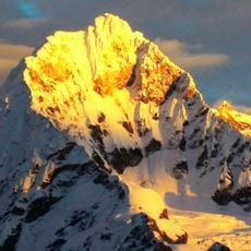
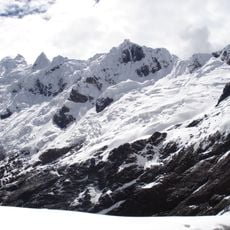
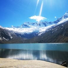
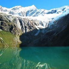
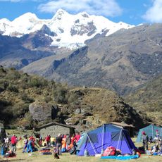
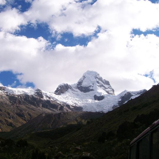
Nevado Ulta, also called Poroquingua, is a 5,875 m summit in the Cordillera Blanca, on the border of the Asunción and Carhuaz provinces. Its glacier snowline lies at 4,920 m, and its north side drops in a wall of nearly 1,000 m. It belongs to the Copa massif, in the range's central section.
The first ascent was made on 8 July 1961 by Kurt Bogner, Günter Kämpfe, and Richard and Donald Hechtel Liska, after several failed attempts. The peak stayed unreached until 1976, when David Cheesmond and Phil Dawson opened a new route on the northwest wall. In July 2008, Viktor Mlinar and Aritza Monasterio completed a new line on the south face.
The mountain is also called Poroquingua, and the valley separating it from the Huascarán massif bears its name, Quebrada Ulta, though the Chopicalqui and Huascarán (6,757 m) rise on the far side. Its north face drops nearly 1,000 m. The first ascent came on 8 July 1961, after several failed attempts, by Kurt Bogner, Günter Kämpfe, Richard and Donald Hechtel Liska.
Climbers need technical gear and high-altitude mountaineering experience to safely reach the summit. The best time to attempt the climb is between May and September when conditions are most stable.
The mountain is also called Poroquingua, and the valley separating it from the Huascarán massif bears its name, Quebrada Ulta, even though giants like Chopicalqui and Huascarán (6,757 m) rise on the other side. Its north side drops in a wall of almost 1,000 m.
The community of curious travelers
AroundUs brings together thousands of curated places, local tips, and hidden gems, enriched daily by 92,620 contributors worldwide.