Yanapaccha, Mountain peak in Cordillera Blanca, Peru
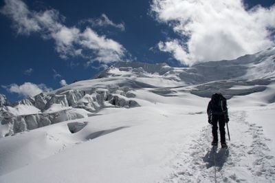
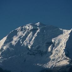
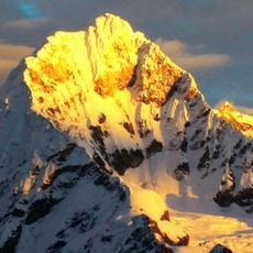
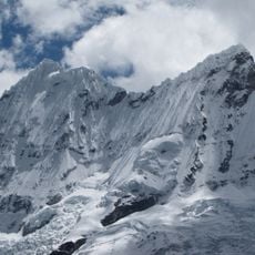
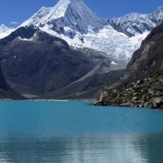
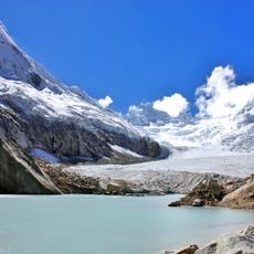
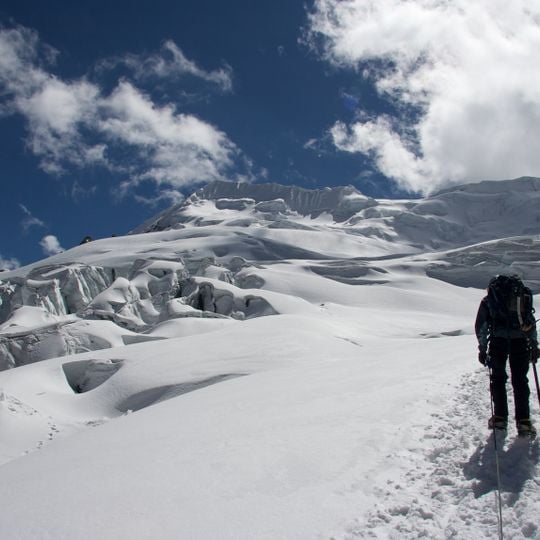
Yanapaccha is a snow- and ice-covered mountain in the Cordillera Blanca, in the districts of Yanama and Yungay, Áncash Region, Peru. It has two peaks: the south summit at 5,460 m and the north summit at 5,380 m. A band of broken ice blocks and hollows crosses the left and middle slopes below a long summit ridge of snow with darker exposed patches.
The first recorded ascent was made on 23 June 1954 by an American expedition — Fred Donald Ayres, Alexander Creswell, Richard Irwin, David Michael and Leigh Ortenburger — who climbed the northwest ridge. The mountain has two summits: the south peak at 5,460 m and the north peak at 5,380 m.
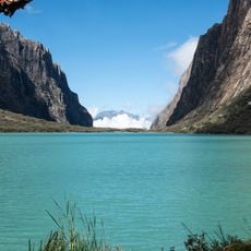
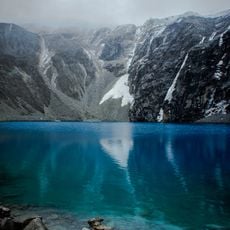
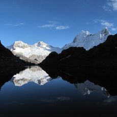
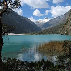
The name Yanapaccha is usually explained from Quechua yana (black) and phaqcha (waterfall), giving "black waterfall"; the mountain is also recorded as Yanaphaqcha in Quechua. It stands at the head of the Llanganuco ravine, southeast of Chacraraju, in Huascarán National Park, where Quechua place names remain in everyday use.
Yanapaccha has two summits: the higher south peak at 5,460 m and the north peak at 5,380 m. The first ascent, on 23 June 1954, followed the northwest ridge, so that line is the mountain's recorded route. The peak stands at the head of the Llanganuco ravine, southeast of Chacraraju, inside Huascarán National Park.
Yanapaccha has two summits: the south peak at 5,460 m and the north peak at 5,380 m. Since 2015 the Instituto Nacional de Investigación en Glaciares y Ecosistemas de Montaña (Inaigem) has studied black carbon deposition on the mountain to monitor air quality.
The community of curious travelers
AroundUs brings together thousands of curated places, local tips, and hidden gems, enriched daily by 92,672 contributors worldwide.