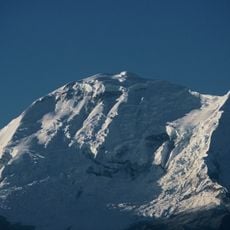
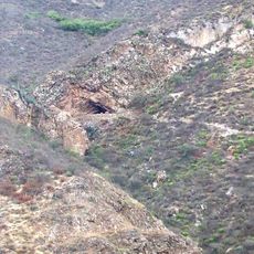
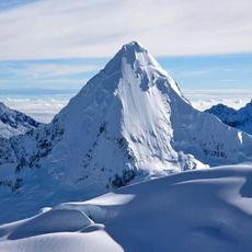
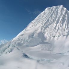
Arhuay Glacier, Glacier in Huaylas Province, Ancash, Peru
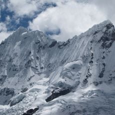
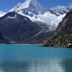
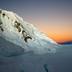
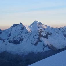
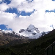
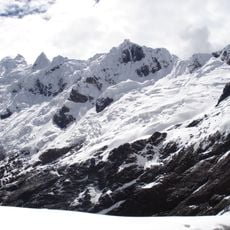
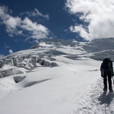
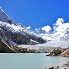
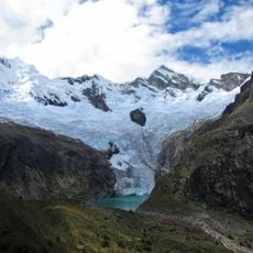
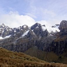
The Arhuay Glacier is a valley glacier in the Cordillera Blanca, originating in a cirque below Pucahirca Sur (6,039 m) and Rinrihirca (5,810 m). It covers 4.25 km², runs about 2.3 km long and 4.5 km wide, descending from 6,025 m to 4,554 m. Its tongue ends at Arhuaycocha lagoon, and its surface shows pronounced crevasses.
The Arhuay Glacier lies in the Huaylas province of Ancash, inside Huascarán National Park, declared a UNESCO World Heritage Site in 1985. It originates at 6,025 m in a cirque below Pucahirca Sur (6,039 m) and Rinrihirca (5,810 m), descending to 4,554 m. Its tongue now retreats, lowering the glacier's surface, and its end touches the Arhuaycocha lagoon.
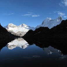
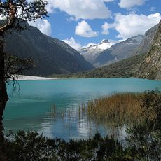
The glacier's meltwater feeds the Arhuaycocha lagoon, whose outflow joins the Santa River and drains to the Pacific. The Santa's water is used for farming and hydropower in the Huaylas province, and the glacier lies within Huascarán National Park, a UNESCO World Heritage Site since 1985.
The glacier is reached from the Cordillera Blanca side and its tongue ends at the Arhuaycocha lagoon, at 4,554 m; the ice begins at 6,025 m below Pucahirca Sur and Rinrihirca. Plan for acclimatisation before walking at this altitude and carry mountain gear for snow and rock. The Arhuay is described as easily accessible, but a guide remains advisable.
The glacier's terminal tongue touches Laguna Arhuaycocha, whose outflow joins the Río Santa and reaches the Pacific. The tongue's low slope acts as a supporting wedge against the faster, heavily crevassed middle section. The glacier drops from 6,025 m at its cirque to 4,554 m at the lake.
The community of curious travelers
AroundUs brings together thousands of curated places, local tips, and hidden gems, enriched daily by 92,786 contributors worldwide.