
El Encanto, municipality in Amazonas, Colombia
Location: Amazonas Department
Elevation above the sea: 108 m
GPS coordinates: -1.74778,-73.20861
Latest update: April 17, 2025 14:26

Chiribiquete National Park
276.2 km
Amacayacu National Park
386.3 km
Casa de Fierro
222.9 km
Puente Nanay
216.9 km
Complejo Turistico de Quistococha
232.1 km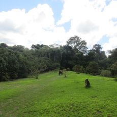
Allpahuayo-Mishana National Reserve
245.8 km
Chiribiquete's rock shelters
345.9 km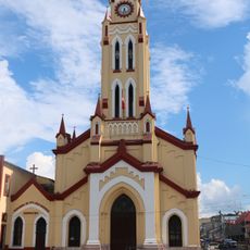
Cathedral of Iquitos
222.8 km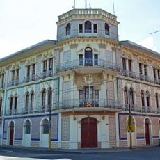
Ex Hotel Palace
223 km
Güeppi
290.5 km
Centro histórico de Iquitos
220.6 km
Estadio Max Augustín
222.2 km
Tamshiyacu Tahuayo Regional Conservation Area
283.4 km
Casa Morey
222.6 km
Bellavista-Nanay
217.7 km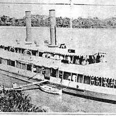
BAP América
221 km
Casa Pinasco
222.9 km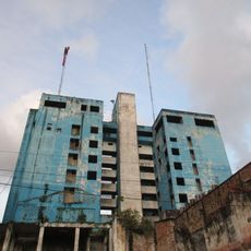
Antiguos Edificios del Seguro Social de Salud del Perú
222.8 km
Pampachica beach
223.2 km
Paraíso bridge
309.4 km
Casa Cohen
223.2 km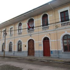
Museo Amazónico
223.2 km
Playa de Tipishca
227.1 km
Iglesia de la Inmaculada Concepción
220.6 km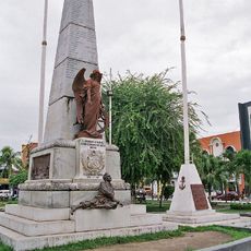
Obelisco de los Héroes
222.8 km
Chineria Island
449.7 km
Natural Reserve Palmari
430.2 km
French Alliance of Iquitos
222.4 kmReviews
Visited this place? Tap the stars to rate it and share your experience / photos with the community! Try now! You can cancel it anytime.
Discover hidden gems everywhere you go!
From secret cafés to breathtaking viewpoints, skip the crowded tourist spots and find places that match your style. Our app makes it easy with voice search, smart filtering, route optimization, and insider tips from travelers worldwide. Download now for the complete mobile experience.

A unique approach to discovering new places❞
— Le Figaro
All the places worth exploring❞
— France Info
A tailor-made excursion in just a few clicks❞
— 20 Minutes