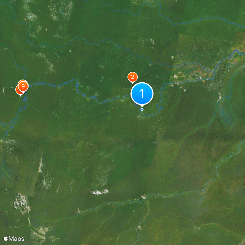
Brazil–Colombia border, International boundary in Amazon rainforest, South America.
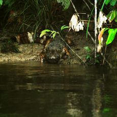
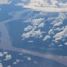
The Brazil-Colombia border runs for 1,644 kilometers (1,021 miles) through dense rainforest, following natural markers such as the Japurá, Apaporis, and Traíra Rivers. The borderline divides one of the most remote and biologically diverse areas of the Amazon basin, where rivers act as natural dividing lines between the two countries.
The boundaries were established through two major treaties: the Vásquez Cobo-Martins agreement of 1907 and the Navigation and Limits Treaty of 1928. These agreements ended earlier territorial disputes and created the modern border line along the rivers in the Amazon region.
The frontier region is home to various peoples, including the Tikuna, who live along the rivers and maintain their languages and fishing traditions. Visitors can find handmade crafts in the villages and see traditional wooden boats traveling the border rivers every day.
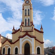
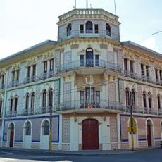
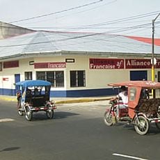
The crossing point lies between the towns of Tabatinga on the Brazilian side and Leticia on the Colombian side, where regulated passage is available. The towns sit right next to each other and travelers can walk between the two countries, though valid travel documents are required and registration at the respective border posts is necessary.
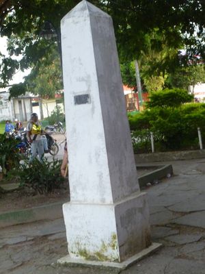
The border zone includes several tri-border points where three national territories meet, creating areas of complex international jurisdiction. Some of these points lie in the middle of rivers or deep in the rainforest, where markers are often hard to spot.
The community of curious travelers
AroundUs brings together thousands of curated places, local tips, and hidden gems, enriched daily by 60,000 contributors worldwide.