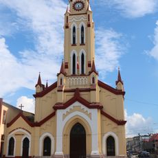
Loreto Province, Administrative province in Peruvian Amazon, Peru
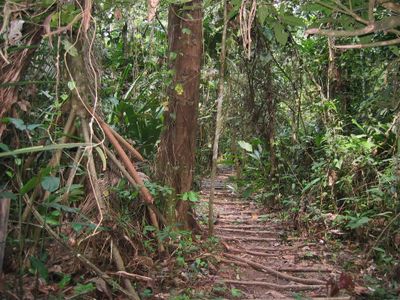
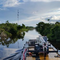
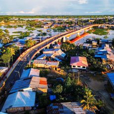
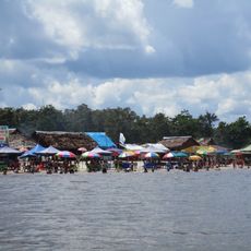
Loreto Province is an administrative region in the Peruvian Amazon covering thousands of square kilometers of rainforest with five districts and numerous rivers running through it. The landscape is dominated by dense forest where waterways serve as the main pathways connecting settlements and determining how communities reach each other.
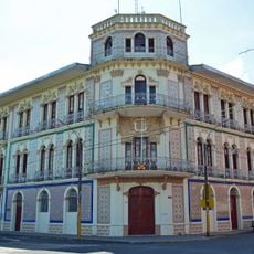
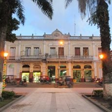
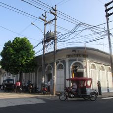
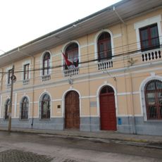
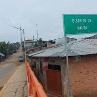
The region was shaped by rubber production in the 1800s, when Nauta was established as the district capital to support economic development. This founding redirected settlement patterns and trade in the region and created a new center for regional activities.
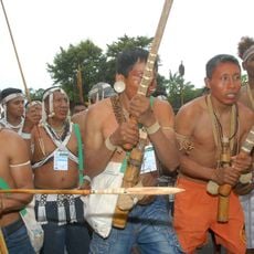
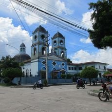
Indigenous groups like the Cocama, Omagua, and Iquito live throughout the region, speaking their own languages and keeping customs tied to the rivers and forest. These communities use fishing techniques passed down through generations and maintain daily practices rooted in their relationship with the natural world around them.
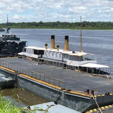
Travel through the region relies on river boats since waterways are the main connection between scattered communities. Visitors should allow flexible time for journeys, as travel periods between locations can vary based on water levels and available transportation.
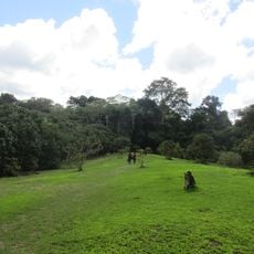
The territory contains the Pacaya-Samiria National Reserve, a large wetland area with pink river dolphins, black caimans, and diverse fish populations. This protected area is a rare place where visitors can encounter these specific species in their natural habitat.
The community of curious travelers
AroundUs brings together thousands of curated places, local tips, and hidden gems, enriched daily by 60,000 contributors worldwide.