Javari Valley, Indigenous territory in western Amazonas, Brazil
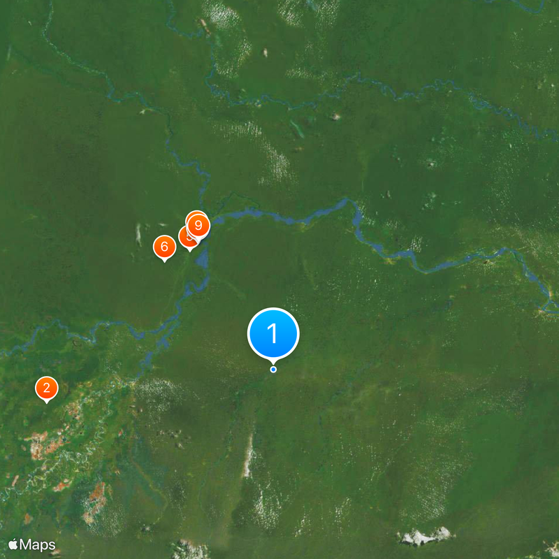
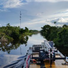
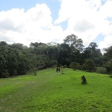
The Javari Valley is a rainforest territory in western Amazonas with rivers that shape the landscape and serve as travel routes for the people living there. The forest covers a vast area where multiple communities maintain settlements spread throughout the region.
The Brazilian government officially recognized the territory as protected land in 2001 to safeguard the communities living there from outside threats. This designation came from a need to prevent external interests from exploiting resources and entering the region.
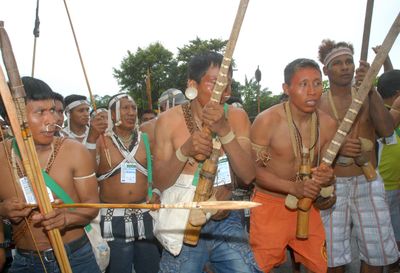
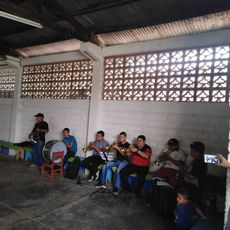
The territory is home to several ethnic communities whose daily lives and settlements shape how the rainforest is used and managed. You can observe how these groups maintain their traditional practices through the way they build and inhabit their villages.
Visitors must use river routes to reach the territory since there are no roads, and they need permission before arriving. Travel requires proper planning and the help of local guides who know the forest conditions.
Some communities in the valley have chosen to have no contact with the modern world and live entirely by their own rules and traditions. This makes the region one of the few places where this way of life remains possible.
The community of curious travelers
AroundUs brings together thousands of curated places, local tips, and hidden gems, enriched daily by 60,000 contributors worldwide.