San Rafael, Agricultural center in Mendoza Province, Argentina
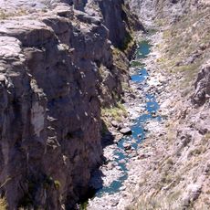
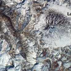
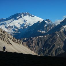
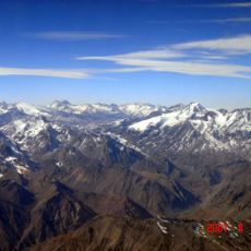
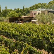
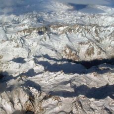
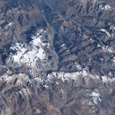
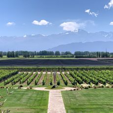
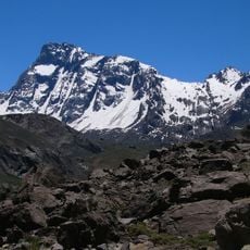
San Rafael is an agricultural center in Mendoza Province located along the Diamante River at the eastern foothills of the Andes Mountains. The city sits at 650 meters elevation and is surrounded by vineyards and fruit orchards that dominate the surrounding landscape.
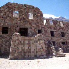
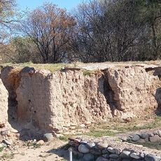
The city grew from Fort San Rafael del Diamante, established in 1805 as the southernmost boundary of European settlement in the region. This fortress laid the foundation for what would become an important agricultural center.
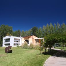
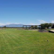
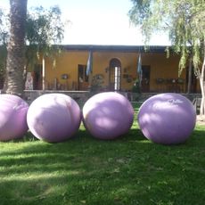
The city's identity centers on agriculture and food production, with wineries and processing facilities visible throughout the landscape. Visitors experience this heritage through local markets and restaurants that showcase regional products and traditional farming methods.
The city is accessible by highway from Buenos Aires, roughly 990 kilometers to the north, with a regional airport also serving the area. Having a car is helpful for visiting the scattered vineyards and orchards in the surrounding region.
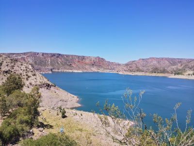
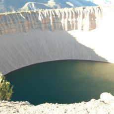
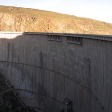
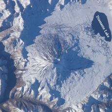
Upstream on the river sits a major hydroelectric facility that creates a large reservoir behind a dam. This lake serves both as a power source for the region and as a recreation area for water sports and leisure activities.
The community of curious travelers
AroundUs brings together thousands of curated places, local tips, and hidden gems, enriched daily by 60,000 contributors worldwide.