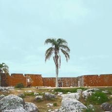
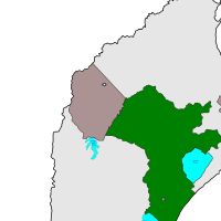
Rocha Department, Administrative division in eastern Uruguay.
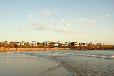
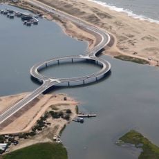
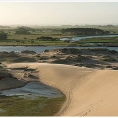
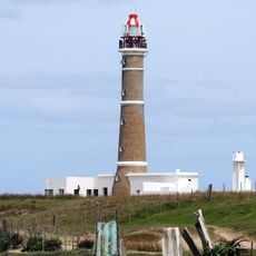
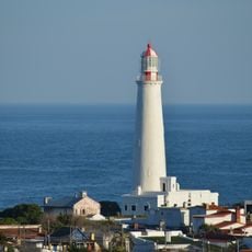
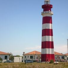
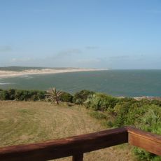
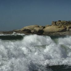
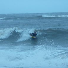
Rocha is an administrative region in eastern Uruguay that stretches along the Atlantic coast with beaches and coastal lagoons throughout its territory. The landscape combines seafront areas with inland zones featuring natural water bodies and open lands.
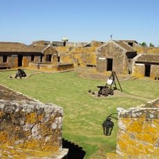
The territory was separated from Maldonado Department in 1880 through an administrative reorganization, becoming the newest of the country's administrative regions at that time. This change allowed better management of the expanding eastern coastal communities.
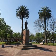
The region serves as a center for ranching and farming, with residents celebrating local festivals that reflect their connection to the land and sea. These traditions continue to shape how communities here live and work throughout the year.
The territory is connected to other regions by Route 9 and Route 15, with regular bus services linking major towns to the capital and surrounding areas. The road network makes travel between different parts of the region fairly straightforward.
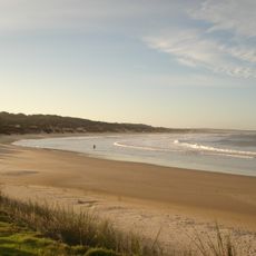
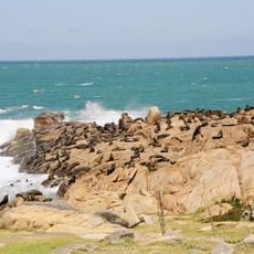
Natural reserves within the region provide habitat for marine animals such as sea lions and serve as stopover points for migrating bird species. These areas showcase the ecological diversity found along the coast and support important wildlife protection efforts.
Inception: July 7, 1880
Capital city: Rocha
Elevation above the sea: 123 m
Part of: South America Midwest Integrated Zone
Shares border with: Lavalleja Department, Treinta y Tres Department, Rio Grande do Sul, Maldonado Department
Website: http://rocha.gub.uy
GPS coordinates: -33.93333,-54.00000
Latest update: December 13, 2025 20:38
Fortaleza de Santa Teresa
41.9 km
Santa Teresa National Park
42.2 km
Laguna Garzón
105.6 km
Lascano
34.8 km
Parque nacional Cabo Polonio
53.4 km
Fuerte San Miguel
50.6 km
Bañados del Este Biosphere Reserve
48.2 km
Faro de Cabo Polonio
56.4 km
Faro Cabo Santa María
83 km
Chuí Lighthouse
61.8 km
San Miguel national park
47.3 km
La Sirena Beach
42.1 km
Santa Teresa
42.5 km
Faro Punta Palmar
44 km
Chui Mosque
56.9 km
Playa La Balconada
82.8 km
Teatro 25 de Mayo
68.4 km
Área protegida Laguna Garzón
105.6 km
Marco de India Muerta
69.2 km
Brisas beach
64.3 km
San Sebastián beach
109.4 km
San Francisco Beach
65.3 km
Atlántica Beach
60.1 km
Aguas Dulces beach
43.3 km
Saint Bernard of Rocha
62 km
Siete Cerros
50.2 km
Moors Beach
40.1 km
Cascada de los Zorros
74.8 kmVisited this place? Tap the stars to rate it and share your experience / photos with the community! Try now! You can cancel it anytime.
Discover hidden gems everywhere you go!
From secret cafés to breathtaking viewpoints, skip the crowded tourist spots and find places that match your style. Our app makes it easy with voice search, smart filtering, route optimization, and insider tips from travelers worldwide. Download now for the complete mobile experience.
A unique approach to discovering new places❞
— Le Figaro
All the places worth exploring❞
— France Info
A tailor-made excursion in just a few clicks❞
— 20 Minutes