Arroio do Meio, Municipality in Rio Grande do Sul, Brazil
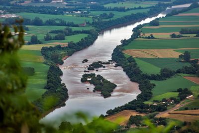
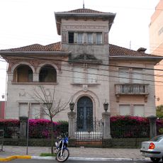
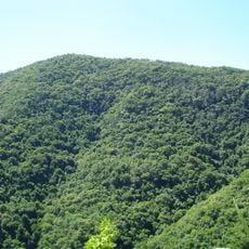
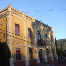
Arroio do Meio is a municipality in Rio Grande do Sul situated along the Taquari River. The town spreads across gently rolling terrain marked by residential areas and productive farmland.
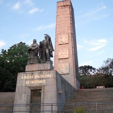
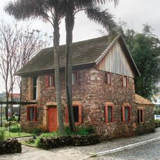
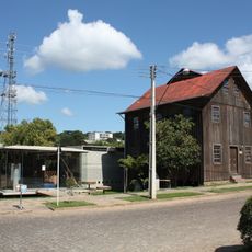
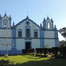
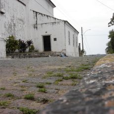
The settlement was founded in 1853 when German and Portuguese immigrants arrived to establish homes in this uninhabited region. These pioneers laid the foundation for what would become the present-day town.
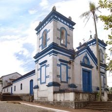
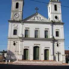
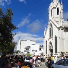
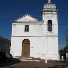
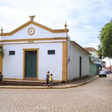
The town carries German and Portuguese heritage through traditions and celebrations that shape daily life. You can see this influence in how people gather and mark important moments throughout the year.
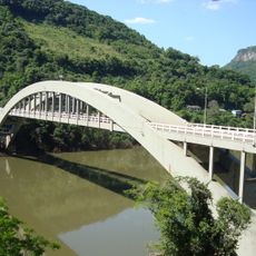
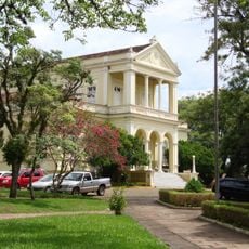
The town is easily accessible and offers basic services for both visitors and residents. It is worth exploring local shops and meeting places to get a feel for everyday life here.
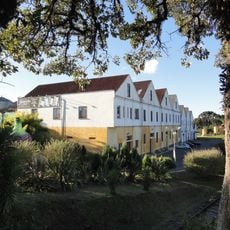
The town has recently developed new residential areas and walking paths to better connect different neighborhoods. This expansion reflects how the community is growing while improving its overall structure and livability.
Location: Rio Grande do Sul
Inception: 1853
Elevation above the sea: 89 m
Shares border with: Capitão, Colinas, Encantado, Estrela, Lajeado, Marques de Souza, Roca Sales, Travesseiro
Website: http://arroiodomeio.rs.gov.br
GPS coordinates: -29.40083,-51.94500
Latest update: December 7, 2025 20:22
Christ the Protector
18.7 km
Viaduto do Exército
39.8 km
São Pelegrino's church
77.8 km
St. John the Baptist Cathedral
58.6 km
Ponte Ernesto Dornelles
53.6 km
Monumento Nacional ao Imigrante
80.7 km
Museu Ambiência Casa de Pedra
77.4 km
Estádio Parque Esportivo Montanha dos Vinhedos
48.3 km
Bom Jesus Church
64.5 km
Igreja Matriz Nossa Senhora do Rosário
77.8 km
Palacete Eberle
78.9 km
Museum of Caxias do Sul City
78.6 km
Hospital Carbone
80.1 km
Private Reserve of Natural Heritage of University of Santa Cruz do Sul
57.1 km
Museu do Pão
55.7 km
Capela do Santo Sepulcro
79.7 km
Museu de Arte Sacra de Rio Pardo
77.5 km
Museu da Uva e do Vinho Primo Slomp
67.6 km
Teatro União
64.4 km
Luigi Pinzetta Museum
87 km
Museu dos Capuchinhos
76.8 km
Santo Antônio do Trinta Chapel
87 km
Casa de Artes Regina Simonis
58.5 km
Igreja Matriz de Santo Amaro
60 km
Prefeitura Municipal
58.4 km
Antiga Escola Militar
77.2 km
Núcleo urbano de Santa Tereza
32.8 km
Calçamento de Pedra, antigo, da rua da Ladeira, abrangendo o trecho situado entre a esquina da rua Andrade Neves e a praça da Matriz
77.6 kmVisited this place? Tap the stars to rate it and share your experience / photos with the community! Try now! You can cancel it anytime.
Discover hidden gems everywhere you go!
From secret cafés to breathtaking viewpoints, skip the crowded tourist spots and find places that match your style. Our app makes it easy with voice search, smart filtering, route optimization, and insider tips from travelers worldwide. Download now for the complete mobile experience.
A unique approach to discovering new places❞
— Le Figaro
All the places worth exploring❞
— France Info
A tailor-made excursion in just a few clicks❞
— 20 Minutes