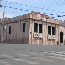
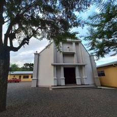
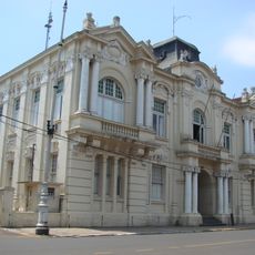
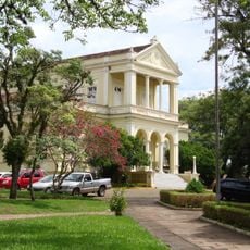
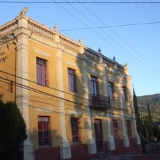
Espumoso, Municipality in Rio Grande do Sul, Brazil
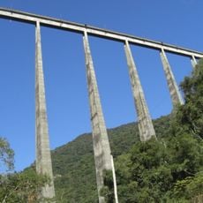
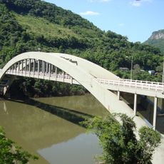
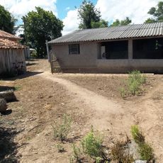
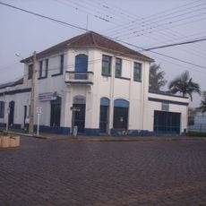
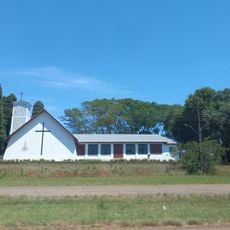
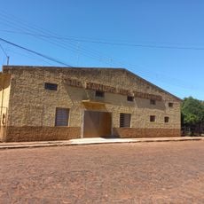
Espumoso is a municipality located in the northeastern part of Rio Grande do Sul, sitting at an elevation of about 398 meters above sea level. The town serves as a local administrative center for the surrounding rural and agricultural areas in this region of southern Brazil.
The municipality gained its administrative independence on February 28, 1955, establishing itself as a separate administrative unit. This event allowed the territory to develop its own local governance structures and institutions in the northeastern region.
The municipal assembly includes representatives from multiple political parties, including PDT, PP, PSDB, and PT, reflecting the diverse political landscape.
The town is located about 216 kilometers from Porto Alegre and is accessible by road for visitors traveling from the state capital. The local administrative office can be reached by phone if you need information or assistance during your visit.
The municipality connects with neighboring cities Alto Alegre, Selbach, Lagoa dos Três Cantos, and Mormaço, forming a regional network of administrative units.
Location: Rio Grande do Sul
Elevation above the sea: 398 m
Shares border with: Alto Alegre, Rio Grande do Sul, Campos Borges, Jacuizinho, Mormaço, Selbach, Rio Grande do Sul, Soledade, Tapera, Rio Grande do Sul, Tunas, Rio Grande do Sul, Victor Graeff
Website: http://espumoso.rs.gov.br
GPS coordinates: -28.72500,-52.85000
Latest update: December 7, 2025 20:48
Christ the Protector
107.6 km
Viaduto do Exército
98.2 km
St. John the Baptist Cathedral
118.1 km
Ponte Ernesto Dornelles
129.8 km
Sanga da Alemoa
140.4 km
Ponte do Império
91.2 km
Paleontological Sites of Santa Maria
141.8 km
Paleorrota
140.4 km
Erico Verissimo Museum
74.2 km
Avenida Rio Branco
141.5 km
Museu do Automobilismo Brasileiro
65.4 km
Passo Fundo National Forest
79.8 km
Private Reserve of Natural Heritage of University of Santa Cruz do Sul
79.5 km
Planetário da UFSM
139.2 km
Museu do Pão
74.1 km
Paleontological Site Jazigo Cinco
140.4 km
Comunidade Arnesto Penna Carneiro
131.5 km
Quarta Colônia State Park
89.1 km
Museum Aristides Carlos Rodrigues
104.8 km
Luigi Pinzetta Museum
93.9 km
Igreja Luterana Tio Hugo
30.8 km
Centro de Tradições Gaúchas in Ibirubá
26.3 km
Santo Antônio do Trinta Chapel
93.8 km
Casa de Artes Regina Simonis
117.8 km
Headquarters building of the municipal council of Cruz Alta
74.4 km
Cemitério Israelita de Philippson
127 km
Prefeitura Municipal
117.4 km
Núcleo urbano de Santa Tereza
119.3 kmVisited this place? Tap the stars to rate it and share your experience / photos with the community! Try now! You can cancel it anytime.
Discover hidden gems everywhere you go!
From secret cafés to breathtaking viewpoints, skip the crowded tourist spots and find places that match your style. Our app makes it easy with voice search, smart filtering, route optimization, and insider tips from travelers worldwide. Download now for the complete mobile experience.
A unique approach to discovering new places❞
— Le Figaro
All the places worth exploring❞
— France Info
A tailor-made excursion in just a few clicks❞
— 20 Minutes