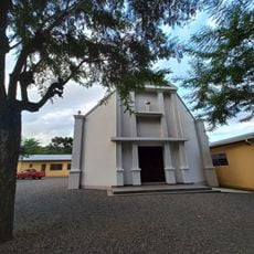
Marau, Administrative division in Rio Grande do Sul, Brazil
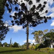
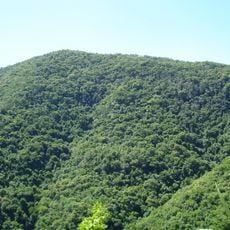
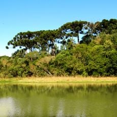
Marau is a municipality in Rio Grande do Sul that covers approximately 650 square kilometers of territory. The area is shaped by river valleys and contains settlements focused on farming and small-scale production.
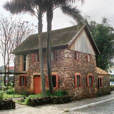
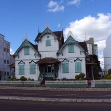
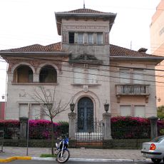
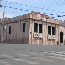
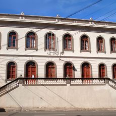
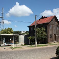
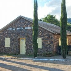
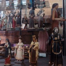
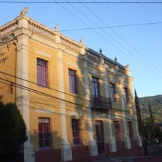
Italian settlers arrived in the nineteenth century and established communities throughout the region. This wave of settlement shaped the formation and development of the municipality.
The town carries the name of a native leader who lived in the region during the 1800s. Local heritage reflects the influence of Italian settlers who arrived and built communities in the area.
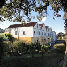
The municipality is accessible by road and has basic services to support visitors exploring rural areas. The best time to visit is during drier months when local roads are easier to travel.
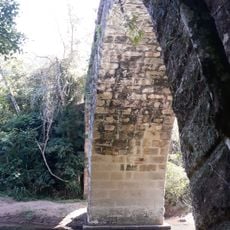
The Mortandade river running through the municipality draws its name from a significant conflict in the region's past. This river name serves as a reminder of the area's turbulent early history.
The community of curious travelers
AroundUs brings together thousands of curated places, local tips, and hidden gems, enriched daily by 60,000 contributors worldwide.