Antofalla, Catamarca, Remote mining locality in Catamarca Province, Argentina
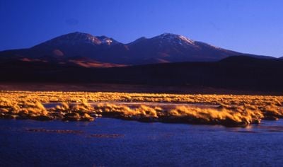
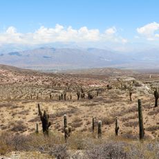
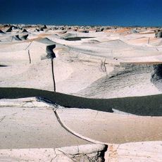
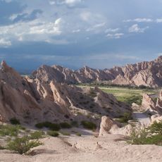
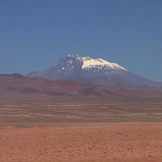
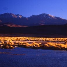
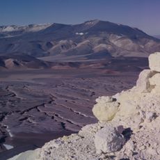
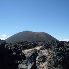
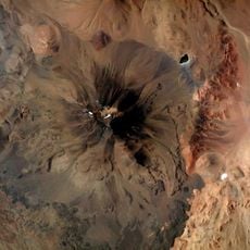
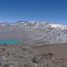
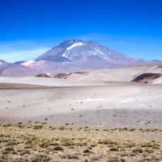
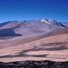
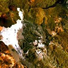
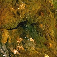
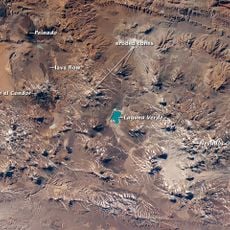
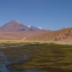
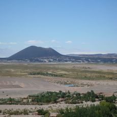
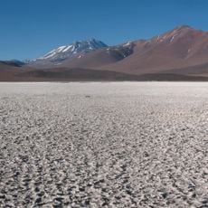
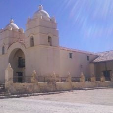
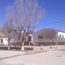
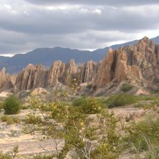
Antofalla is a remote locality in Catamarca Province, Argentina, situated at 3,500 meters elevation within mountainous terrain. The area is defined by salt flats and mineral deposits that shape its stark landscape.
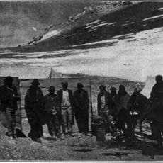
The settlement emerged during the late 19th century mineral exploration period when mining activities drove development in this region. Mining shaped the area from its early days and attracted people to this remote location.
The local people maintain strong ties to Atacama traditions, blending pre-Hispanic practices with colonial influences visible in their daily routines and crafts. This heritage shapes how they interact with their harsh mountain environment and preserve local ways.
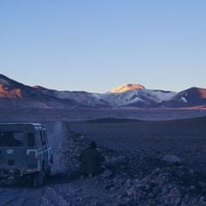
Reaching this remote location requires careful planning and appropriate vehicles, as unpaved roads present significant challenges. Visitors should prepare for difficult conditions and limited services along the way.
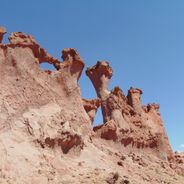
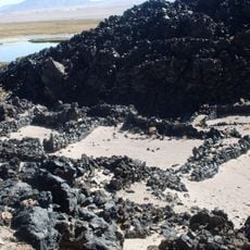
The area is known for substantial borate deposits that attract geologists and mineral researchers. These particular mineral formations make it noteworthy for those interested in rocks and geological features.
Location: Catamarca Province
GPS coordinates: -25.51682,-67.61900
Latest update: December 6, 2025 17:43
Northwest Argentina is a region where deserts, wine regions and Andean valleys coexist. Salt flats, striking rock formations, pre-Columbian sites and traditional mountain villages define this landscape. The terrain shifts between bare highlands, colorful mountain ranges and green valleys where small...
Llullaillaco
128.2 km
Los Cardones National Park
151.1 km
Campo de Piedra Pómez
127.7 km
Galán
89.3 km
Quebrada de las Flechas
149.6 km
Onega River
138.9 km
Robledo
139.9 km
Socompa
139.9 km
Antofalla
26.8 km
Lastarria
98.1 km
Antofagasta de la Sierra
71.2 km
Aracar
137.6 km
Sierra Nevada de Lagunas Bravas
145.6 km
Llullaillaco National Park
132.5 km
Cerro El Cóndor
144.5 km
Cerro Bayo Complex
97.6 km
Cordón del Azufre
93.2 km
Peinado
132.7 km
Cerro Escorial
89.4 km
Cerro Colorado
106.1 km
Las Parinas
119.5 km
Pucará de La Alumbrera
69.4 km
Salar de Aguas Calientes IV
118.8 km
Los Colorados
94.9 km
Salar de Piedra Parada
145.4 km
Iglesia San Pedro Nolasco de los Molinos
133.6 km
Areas del Pueblo de Molinos
133.6 km
Mirador Monumento Natural Angastaco
148.6 kmVisited this place? Tap the stars to rate it and share your experience / photos with the community! Try now! You can cancel it anytime.
Discover hidden gems everywhere you go!
From secret cafés to breathtaking viewpoints, skip the crowded tourist spots and find places that match your style. Our app makes it easy with voice search, smart filtering, route optimization, and insider tips from travelers worldwide. Download now for the complete mobile experience.
A unique approach to discovering new places❞
— Le Figaro
All the places worth exploring❞
— France Info
A tailor-made excursion in just a few clicks❞
— 20 Minutes