Catamarca Province, Province in northwestern Argentina
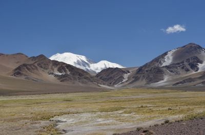
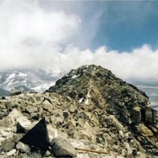
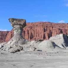
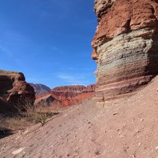
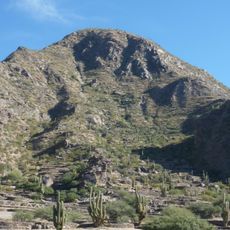
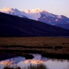
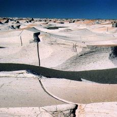
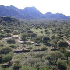
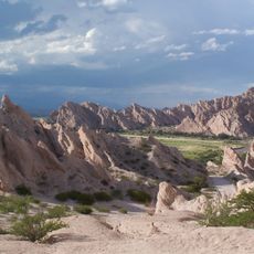
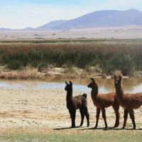
Catamarca Province spans 102,602 square kilometers of mountainous terrain in northwestern Argentina, featuring high peaks, desert landscapes, and volcanic formations reaching elevations over 6,000 meters above sea level.
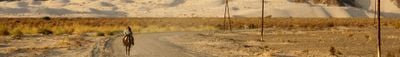
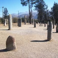
Spanish conquistadors established settlements in this region during the 16th century, encountering indigenous Diaguita and Calchaquí peoples who had inhabited the area for over 3,000 years before European arrival.
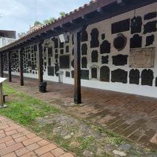
The province celebrates the Fiesta Nacional del Poncho each July, showcasing traditional textiles, folk music, and handicrafts that reflect the blend of indigenous and Spanish colonial cultural heritage.
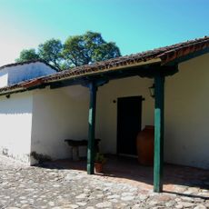
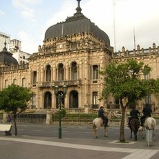
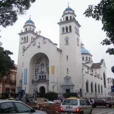
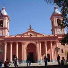
The provincial capital San Fernando del Valle de Catamarca serves as the main administrative center, accessible by road and air connections, with tourist services available year-round for visitors.
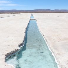
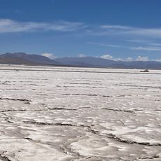
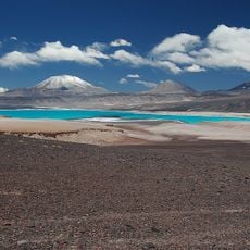
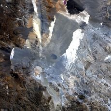
Catamarca contains the Salar del Hombre Muerto, one of the world's highest salt flats at 4,000 meters elevation, which harbors significant lithium deposits crucial for modern battery production.
Inception: 1821
Capital city: San Fernando del Valle de Catamarca
Elevation above the sea: 3,347 m
Part of: South America Midwest Integrated Zone
Shares border with: Salta Province, Tucumán Province, Santiago del Estero Province, La Rioja Province, Córdoba Province, Antofagasta Region, Atacama Region
Website: https://catamarca.gob.ar
GPS coordinates: -28.46889,-65.77917
Latest update: November 16, 2025 21:58
Ojos del Salado
311.3 km
Monte Pissis
307 km
Campo de Piedra Pómez
264.3 km
Incahuasi
295 km
Cerro Blanco
271.3 km
Robledo
269.1 km
Cerro Bonete
332.5 km
Nevado Tres Cruces National Park
358.3 km
Cerro El Muerto
309.3 km
Tipas
307.7 km
Antofagasta de la Sierra
306.5 km
Sierra Nevada de Lagunas Bravas
353.9 km
Cerro El Cóndor
326.8 km
Cerro de Tres Quebradas
314.4 km
Nevado San Francisco
299.5 km
Cerro Solo
326.4 km
Falso Azufre
313.4 km
Walter Penck
308.3 km
Volcán Copiapó
354.3 km
Peinado
308.9 km
Cerro Colorado
362.2 km
Nevado Tres Cruces Central
334.6 km
Glaciar de los Argentinos
307 km
El Ermitaño
335.6 km
Las Parinas
317 km
Pucará de La Alumbrera
308.3 km
Volcán Fraile
301 km
Los Colorados
365.1 kmReviews
Visited this place? Tap the stars to rate it and share your experience / photos with the community! Try now! You can cancel it anytime.
Ambato Department
Ancasti Department
Andalgalá Department
Antofagasta de la Sierra Department
Belén Department
Capayán Department
Capital Department
El Alto Department
Fray Mamerto Esquiú Department
La Paz Department
Paclín Department
Pomán Department
Santa María Department
Santa Rosa Department
Tinogasta Department
Valle Viejo Department
Discover hidden gems everywhere you go!
From secret cafés to breathtaking viewpoints, skip the crowded tourist spots and find places that match your style. Our app makes it easy with voice search, smart filtering, route optimization, and insider tips from travelers worldwide. Download now for the complete mobile experience.
A unique approach to discovering new places❞
— Le Figaro
All the places worth exploring❞
— France Info
A tailor-made excursion in just a few clicks❞
— 20 Minutes