São Francisco de Assis, Municipality in Rio Grande do Sul, Brazil
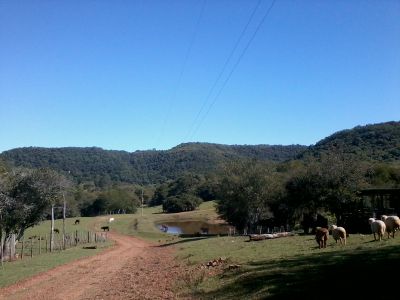
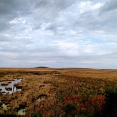
São Francisco de Assis is a municipality in the western region of Rio Grande do Sul that stretches across a large rural area. The area is shaped by agricultural activities, particularly soybean cultivation and milk production.
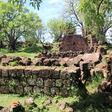
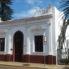
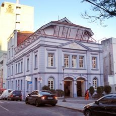
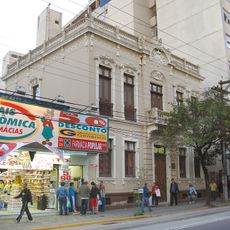
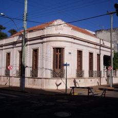
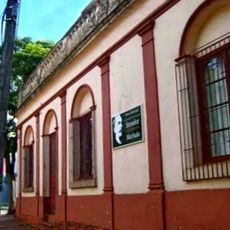
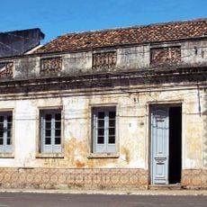
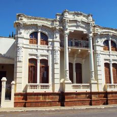
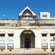
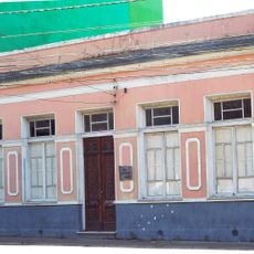
The municipality was founded in 1884 and developed from early settlements into a structured administrative region. This founding was part of the settlement of Rio Grande do Sul's southwest in the 1800s.
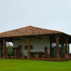
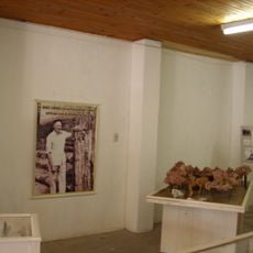
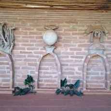
European settler heritage shows through traditional music, dance, and regional food at local celebrations throughout the year. These traditions remain woven into how the community gathers and celebrates together.
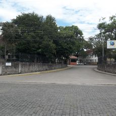
The best time to explore is during the summer months when field work is active and you can observe rural life firsthand. The flat to rolling landscape makes it easy to move around the region.
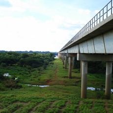
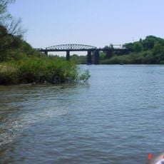
The area lies near the Jaguari River, creating a natural connection between several neighboring municipalities. This geographic position has shaped the development and relationships between different settlements.
Location: Rio Grande do Sul
Elevation above the sea: 268 m
Shares border with: Santiago, Alegrete, Jaguari, Maçambara, Manoel Viana, Nova Esperança do Sul, São Vicente do Sul, Unistalda
Website: http://saofranciscodeassis.rs.gov.br
GPS coordinates: -29.55000,-55.13083
Latest update: December 7, 2025 20:47
São Miguel das Missões
124.7 km
Mission São João Batista
140.9 km
Integration Bridge
135.4 km
Mission São Lourenço Mártir
127.9 km
Mission Museum
124.9 km
Catedral de Nossa Senhora da Conceição
128.9 km
Estádio Presidente Vargas
127.4 km
Paleontological Site Arroio Cancela
130.2 km
Museu Getúlio Vargas
130.4 km
Basilica Shrine of Our Lady Mediatrix of All Graces
128.8 km
Ponte Marechal José de Abreu
79.8 km
Paleontological Site Chiniquá
69.1 km
Avenida Rio Branco
128.8 km
Theatro Treze de Maio
129.1 km
Ibirapuitã Biological Reserve
75.5 km
Museum Daniel Cargnin
65 km
Museu Gama D'Eça
129 km
Museum Vincente Pallotti
127.2 km
Ibirapuitã Environmental Protection Area
103.2 km
Museum Paleontologic and Archaeological Walter Ilha
82.5 km
Casa Memorial João Goulart
130.5 km
Museu Municipal Senador Pinheiro Machado
128.8 km
Ponto da Memória Missioneira
124.5 km
Antiga Casa do Marechal Bento Manuel Ribeiro de Almeida
69 km
Antigas Residências Em Alegrete
69 km
Instituto Estadual de Educação Olavo Bilac
128.3 km
Maara - Museu de Arqueologia e Artes
69 km
Museu Oswaldo Aranha
68.9 kmVisited this place? Tap the stars to rate it and share your experience / photos with the community! Try now! You can cancel it anytime.
Discover hidden gems everywhere you go!
From secret cafés to breathtaking viewpoints, skip the crowded tourist spots and find places that match your style. Our app makes it easy with voice search, smart filtering, route optimization, and insider tips from travelers worldwide. Download now for the complete mobile experience.
A unique approach to discovering new places❞
— Le Figaro
All the places worth exploring❞
— France Info
A tailor-made excursion in just a few clicks❞
— 20 Minutes