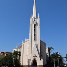
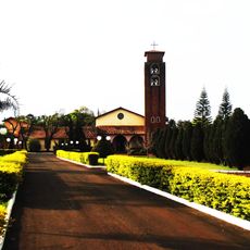
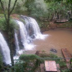
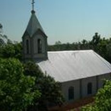
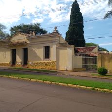
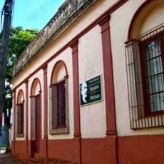
Santo Cristo, Rio Grande do Sul, Municipality in Rio Grande do Sul, Brazil
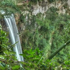
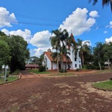
Santo Cristo is a municipality located in Rio Grande do Sul, a state in southern Brazil, situated in the Noroeste Rio-Grandense region. The town covers a land area spanning approximately 367 square kilometers.
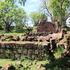
The municipality was founded on January 28, 1955, as an independent administrative division within Rio Grande do Sul state. This establishment marked the creation of a new local government area in the region.
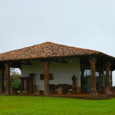
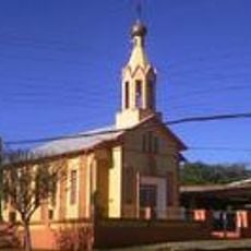
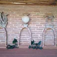
The local community honors German heritage through celebrations and gatherings held in public spaces throughout the town. These traditions shape how people gather and celebrate together in daily life.
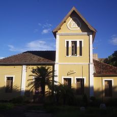
The town operates on UTC-3 time zone with administrative facilities managing public services. Visitors will find infrastructure serving both the urban center and surrounding rural areas.
The region has become known for strong agricultural production, particularly in dairy and meat farming. These farming activities significantly shape the local economy and rural landscape.
Location: Rio Grande do Sul
Inception: 1955
Elevation above the sea: 283 m
Shares border with: Alecrim, Cândido Godói, Porto Lucena, Porto Vera Cruz, Santa Rosa, Tuparendi
Website: http://santocristo.rs.gov.br/site
GPS coordinates: -27.82389,-54.66278
Latest update: December 8, 2025 13:40
Jesuit missions among the Guaraní
106.6 km
São Miguel das Missões
81.4 km
Mission São João Batista
75.2 km
Nuestra Señora de Loreto
100.5 km
Parque Temático de la Cruz
99.2 km
Nuestra Señora de Santa Ana
102.5 km
Santa María la Mayor
67.5 km
Parque Provincial Salto Encantado
86.8 km
Mission São Lourenço Mártir
71.1 km
Mission Museum
81.1 km
Antiga Estação Férrea de Santo Ângelo
66.3 km
Catedral San Antonio de Padua
58.7 km
Sítio Arqueológico de São Nicolau
71.2 km
Saints Peter and Paul Orthodox church in Santa Rosa
19.1 km
Estádio da Zona Sul
66.8 km
Mosteiro da Transfiguração
22.2 km
Salto Krysiuk
56.7 km
Igreja do Apóstolo João Evangelista (Campina das Missões)
26.4 km
Museu Municipal Dr. José Olavo Machado
66.5 km
Monumento natural Árbol Timbó de Jardín América
103.3 km
Capilla Santa Cecilia
96.2 km
Salto do Roncador
27.1 km
Plaza San Martín
58.7 km
Capela Verzeri
65.9 km
Museu Municipal Senador Pinheiro Machado
70.7 km
Ponto da Memória Missioneira
81.4 km
Iglesia Evangélica Suiza
103.1 km
Salto Paraíso
90.2 kmVisited this place? Tap the stars to rate it and share your experience / photos with the community! Try now! You can cancel it anytime.
Discover hidden gems everywhere you go!
From secret cafés to breathtaking viewpoints, skip the crowded tourist spots and find places that match your style. Our app makes it easy with voice search, smart filtering, route optimization, and insider tips from travelers worldwide. Download now for the complete mobile experience.
A unique approach to discovering new places❞
— Le Figaro
All the places worth exploring❞
— France Info
A tailor-made excursion in just a few clicks❞
— 20 Minutes