
Caimancito, human settlement in Argentina
Location: Jujuy Province
Elevation above the sea: 338 m
GPS coordinates: -23.73993,-64.59282
Latest update: March 9, 2025 13:04
Quebrada de Humahuaca
97.8 km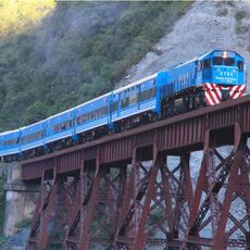
Tren a las Nubes
142.2 km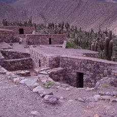
Pucará de Tilcara
84.3 km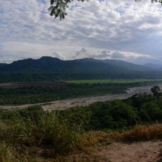
Calilegua National Park
27.4 km
El Rey National Park
107 km
Baritú National Park
128.8 km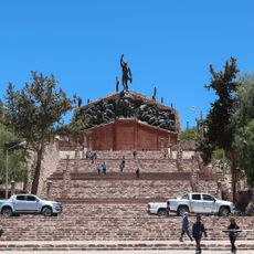
Monument to the Heroes of Independence
97.7 km
Reserva de biosfera de Yungas
92.3 km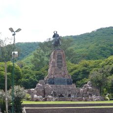
Güemes monument
142.4 km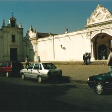
Convento de San Bernardo
143 km
Palacio de Gobierno de Jujuy
87.4 km
Catedral Basílica de San Salvador de Jujuy (Cathedral Basilica of the Holy Saviour)
87.4 km
Palacio de la Legislatura de Salta
142.7 km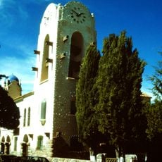
Cabildo de Humahuaca
97.5 km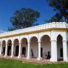
Finca Castañares
137.2 km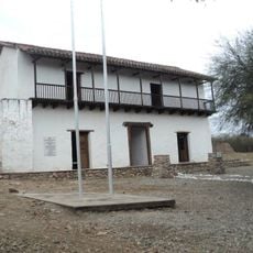
Fuerte de Cobos
122.1 km
Iglesia San Alfonso
142.9 km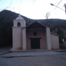
Capilla de la Inmaculada Concepción
84.9 km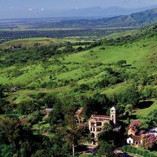
Campo de San Lorenzo
140.4 km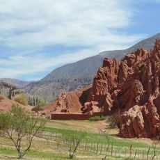
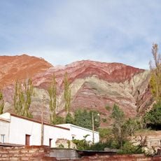
Paseo de los Colorados
92.6 km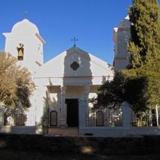
Humahuaca Cathedral
97.6 km
Biblioteca Popular José Ingenieros
19 m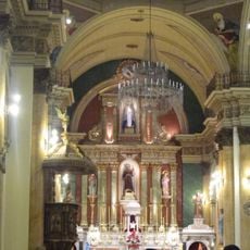
Iglesia y Convento San Francisco
87.6 km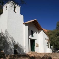
Capilla de Purmamarca
92.4 km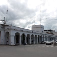
Cabildo de la ciudad de San Salvador de Jujuy
87.3 km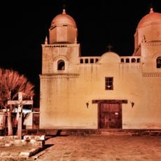
Capilla de Tilcara
83.4 km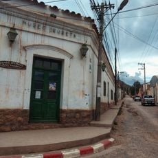
Museo De Bellas Artesfundación Hugo Irureta
83.7 km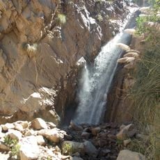
Garganta Del Diablo
81.3 kmReviews
Visited this place? Tap the stars to rate it and share your experience / photos with the community! Try now! You can cancel it anytime.
Discover hidden gems everywhere you go!
From secret cafés to breathtaking viewpoints, skip the crowded tourist spots and find places that match your style. Our app makes it easy with voice search, smart filtering, route optimization, and insider tips from travelers worldwide. Download now for the complete mobile experience.

A unique approach to discovering new places❞
— Le Figaro
All the places worth exploring❞
— France Info
A tailor-made excursion in just a few clicks❞
— 20 Minutes