Jujuy Province, Province in northwest Argentina
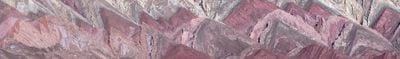
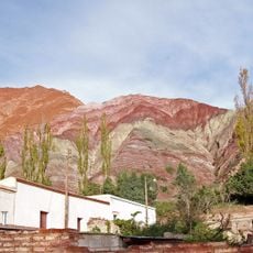
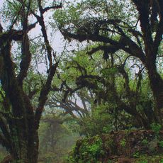
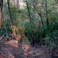
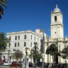
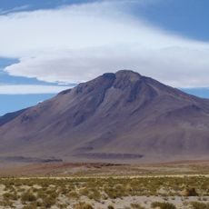
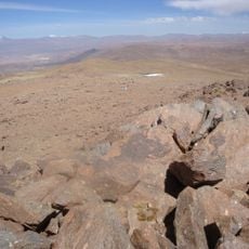
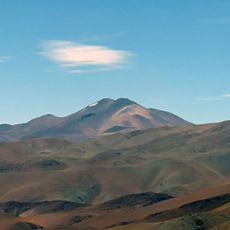
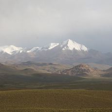
Jujuy Province sits in northwest Argentina, sharing borders with Bolivia and Chile, with its capital at San Salvador de Jujuy. The landscape divides into three bands: the high Altiplano plateau in the west, the valley of the Río Grande running through Quebrada de Humahuaca, and the forested mountain slopes descending into the lowland plains of Gran Chaco.
After independence from Spain, the territory separated from the provinces of Salta and Tucumán in 1834 to form its own administrative unit. Border disputes with Chile were not fully resolved until international arbitration in the 20th century.
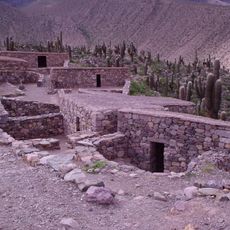
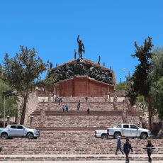
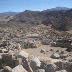
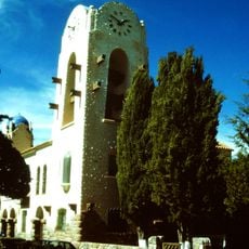
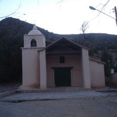
Many small towns in the east bear Guaraní names that recall early mission periods, while western place names trace back to Quechua and Aymara roots. On the village squares of the Puna you will find chapels made of adobe bricks where large festivals with music and dance take place twice a year.
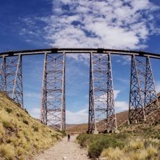
National Routes 9 and 34 connect the capital to other regions, while intercity buses serve towns across the different departments. Altitude differences between zones can bring contrasting weather, so packing clothes suited to each area helps with comfort during a visit.
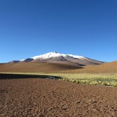
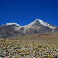
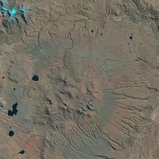
The salt flats of the high plateau belong to what is called the Lithium Triangle, spanning three countries and holding large amounts of this mineral. Extraction projects operate here at elevations above 3400 meters (11,150 feet), where thin air and harsh conditions pose particular challenges.
The community of curious travelers
AroundUs brings together thousands of curated places, local tips, and hidden gems, enriched daily by 60,000 contributors worldwide.