
Eduardo Abaroa Province, province of Bolivia
Location: Oruro Department
Capital city: Challapata
GPS coordinates: -19.06667,-66.20000
Latest update: April 9, 2025 04:46
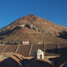
Cerro Rico
77.6 km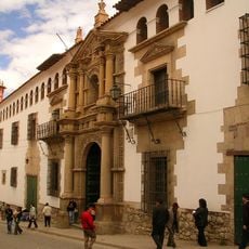
National Mint of Bolivia
74.6 km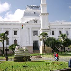
Supreme Tribunal of Justice
98.6 km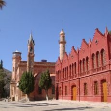
La Glorieta castle
98 km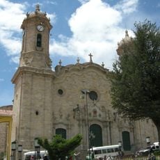
Cathedral Basilica of Our Lady of Peace, Potosí
74.7 km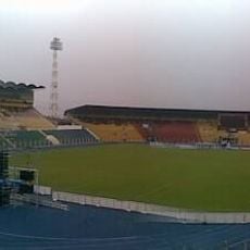
Estadio Víctor Agustín Ugarte
73.3 km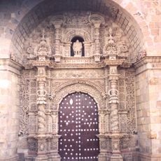
San Lorenzo Church, Potosí
74.4 km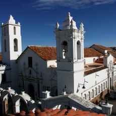
Basílica de San Francisco, Sucre, Bolivia
98.8 km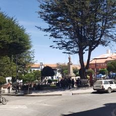
Plaza 10 de Noviembre
74.7 km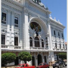
Palacio de la Prefectura de Chuquisaca
98.7 km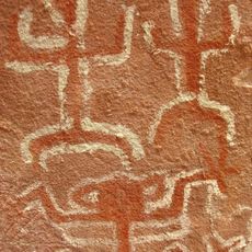
Inka Mach'ay, Bolivia
82.5 km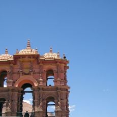
Torre de la Compañía
74.6 km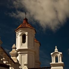
Convento de San Felipe de Neri (Sucre)
98.8 km
Potosí mountain range
90.9 km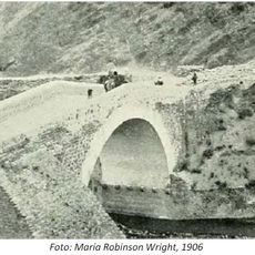
Devil´s bridge
47.9 km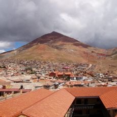
Pari Urqu
69.5 km
Ch'alla Phujru
47.3 km
Sirk'i
49.7 km
Kuntur Chukuña
57.9 km
Pari Chata
34.1 km
Chullpiri
47.4 km
Wila Qullu (K'ulta)
12.9 km
Wila Quta (Oruro)
11 km
Kunturiri
68.8 km
Chullpa
47 km
Wila Sirka
52 km
Kuntur Nasa
33.6 km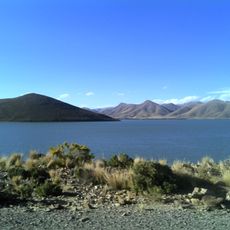
Represa Tacagua
60.9 kmReviews
Visited this place? Tap the stars to rate it and share your experience / photos with the community! Try now! You can cancel it anytime.
Discover hidden gems everywhere you go!
From secret cafés to breathtaking viewpoints, skip the crowded tourist spots and find places that match your style. Our app makes it easy with voice search, smart filtering, route optimization, and insider tips from travelers worldwide. Download now for the complete mobile experience.

A unique approach to discovering new places❞
— Le Figaro
All the places worth exploring❞
— France Info
A tailor-made excursion in just a few clicks❞
— 20 Minutes