Cochabamba, Agricultural valley city in central Bolivia
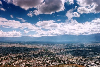
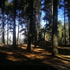
Cochabamba is a city in a fertile valley within Cercado Province in central Bolivia, surrounded by mountains that create good farmland throughout the year. The elevation of roughly 2570 meters (8430 feet) brings mild weather and makes the area an important agricultural region.
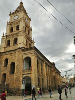
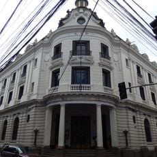
Spanish colonizers founded the settlement of Villa de Oropesa in 1574, later renamed Cochabamba, and developed it as a supply center for mining regions. The valley location allowed the growing of grain and other foods that were sent to the silver mines of Potosí.
The nickname "City of Eternal Spring" comes from the mild weather that shapes how residents spend their time outdoors, often meeting in plazas to share chicha and salteñas. Many locals walk along the Prado in the evenings, an avenue lined with trees and benches where vendors sell snacks and drinks.
La Cancha spreads across several blocks and is busiest during morning hours when local shoppers look for fresh goods. Visitors exploring the market should bring small bills and watch personal belongings, as the aisles can get crowded.
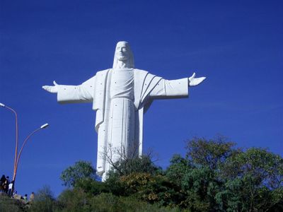
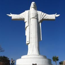
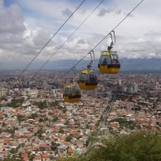
The Cristo de la Concordia statue on San Pedro Hill reaches a height of roughly 34 meters (112 feet) and offers a platform accessible by stairs. From the top, visitors see the entire valley and surrounding mountains while viewing the details of the figure up close.
The community of curious travelers
AroundUs brings together thousands of curated places, local tips, and hidden gems, enriched daily by 60,000 contributors worldwide.