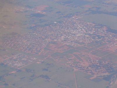
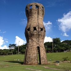
Ivinhema, Agricultural municipality in Mato Grosso do Sul, Brazil.
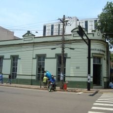
Ivinhema is a municipality in Mato Grosso do Sul in central-western Brazil built on agricultural land. The town functions with schools, health facilities, and road connections that serve the needs of its residents and support the local economy.
The municipality was founded in 1953, marking the start of organized settlement in this region of central-western Brazil. This founding spurred the development of farming as the economic base that continues to shape the area today.
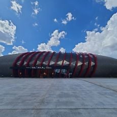
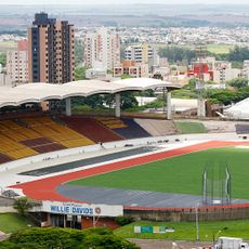
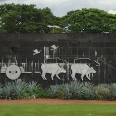
Football is central to community life here, with the local club bringing residents together for regional matches and creating moments of shared pride. The sport shapes daily rhythms and gives people a reason to gather and celebrate together.
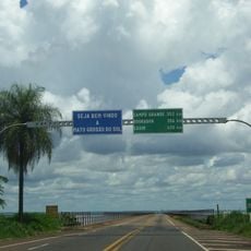
The town is accessible by road and has basic services for visitors, including places to eat and rest. Plan your visit around daylight hours to explore the main areas comfortably.
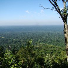
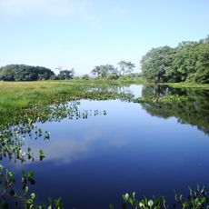
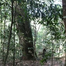
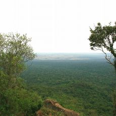
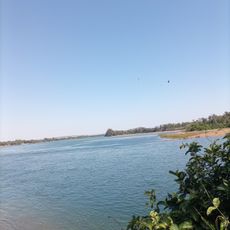
The region receives generous amounts of sunlight throughout the year, which supports farming and keeps the climate relatively dry. These conditions have shaped how locals grow crops and adapt to seasonal variations.
Location: Mato Grosso do Sul
Elevation above the sea: 362 m
Shares border with: Angélica, Deodápolis, Glória de Dourados, Jateí, Nova Andradina, Novo Horizonte do Sul
Website: http://ivinhema.ms.gov.br
GPS coordinates: -22.30500,-53.81500
Latest update: December 7, 2025 19:30
Guaíra Falls
202.6 km
Cathedral of Maringá
229.4 km
Ayrton Senna Bridge
201.6 km
Puente Maurício Joppert
180.6 km
Morro do Diabo State Park
157.5 km
Parque das Nações Indígenas
220.6 km
Pantanal Aquarium
220.5 km
Estádio Willie Davids
228.7 km
Ilha Grande National Park
118.4 km
Obelisco de Campo Grande
221 km
Metropolitan Cathedral of Our Lady of the Abbey and St. Anthony, Campo Grande
221 km
Perobas Biological Reserve
204 km
José Antônio Pereira Museum
214.3 km
Monumento ao Índio
220.6 km
Oxcart Monument
220.8 km
Rio Ivinhema State Park
74.4 km
Área de Proteção Ambiental das Ilhas e Várzeas do Rio Paraná
200.8 km
Lagoa São Paulo Reserve
203.6 km
Parque Estadual do Prosa
220.3 km
Morro do Diabo
155.8 km
Our Lady of Fatima Cathedral
93.2 km
Great Pontal Reserve
157.7 km
Mico Leão Preto Ecological Station
123.3 km
Casa do Artesão de Campo Grande
221.2 km
Encontro dos Rios
84.4 km
Capela Santa Cruz
227.8 km
Monument to the Guaicurus Knights
220.9 km
Ponte Ulysses Guimarães
201.6 kmVisited this place? Tap the stars to rate it and share your experience / photos with the community! Try now! You can cancel it anytime.
Discover hidden gems everywhere you go!
From secret cafés to breathtaking viewpoints, skip the crowded tourist spots and find places that match your style. Our app makes it easy with voice search, smart filtering, route optimization, and insider tips from travelers worldwide. Download now for the complete mobile experience.
A unique approach to discovering new places❞
— Le Figaro
All the places worth exploring❞
— France Info
A tailor-made excursion in just a few clicks❞
— 20 Minutes