Porto de Imbituba, Commercial port in Imbituba, Brazil.
Porto de Imbituba is a commercial port on the southern coast of Santa Catarina state, handling containers and bulk commodities. The facility features multiple loading structures and storage areas designed to process different types of cargo efficiently.
British engineers built the port in 1880 to ship coal from mines at the head of the Tubarão River, carried by the Donna Thereza Christina Railway. In 1922 the Lage & Irmãos firm founded the Companhia Docas de Imbituba, and the first 100 metres of quay opened on 4 May 1942. The state of Santa Catarina took over the port's administration in December 2012.
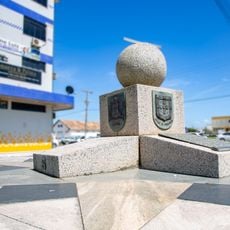
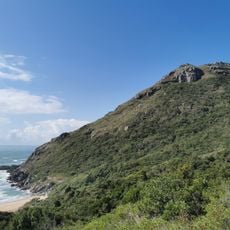
The port's name comes from the Imbituba headland, and its waters are sheltered by an 845-metre breakwater. The Imbituba tide gauge, chosen in 1959 as Brazil's least variable coastal point, defines the country's altitude datum. The port handles Santa Catarina, Paraná and Rio Grande do Sul cargo, and in 2016 moved 4.8 million tonnes.
The port lies in an open bay with no entrance bar or access channel; shelter comes from an 845 m breakwater, with a minimum depth of 13 m and a 300 m open sea approach. Road access runs from BR-101 via SC-435, about 5 km to Imbituba, then Avenida Manuel Florentino Machado to the south or Marieta Konder Bornhausen to the north. Rail access is via the Tereza Cristina line.
The port houses a tide gauge that serves as the primary reference point for measuring land elevation across Brazil. This instrument plays a crucial role in national surveying and scientific research activities.
The community of curious travelers
AroundUs brings together thousands of curated places, local tips, and hidden gems, enriched daily by 92,780 contributors worldwide.