Enable Location

We need your location to show you interesting places around you

Discover nearby places

Find interesting locations and hidden gems around you

Precise directions

Get accurate directions and distances to places

Your location is never shared with other users. It's only used when you tap the location button.

Jaguariaíva

Log in to your account

Start exploring — it's free

Trusted by 63,118 travelers worldwide

Continue with Google
Continue with Apple
or

We will send you a code to connect

By continuing, you accept our Terms and Conditions and our Privacy Policy

Check your inbox

We've sent a pincode in your inbox. Please enter the code below.

Discussion Reviews 1 Photos
22.8k Popularity

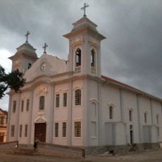
Jaguariaíva, Administrative municipality in Paraná, Brazil

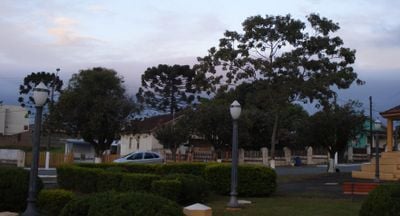
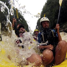
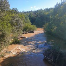
Jaguariaíva is a municipality in Paraná in southern Brazil covering roughly 1,450 square kilometers and home to about 35,000 people. The town sits at an elevation above 1,200 meters and is shaped by forests and natural features.

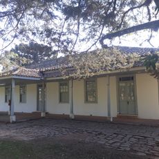
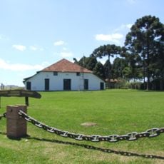
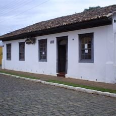
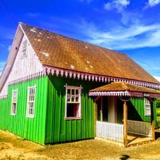
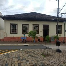
The settlement began in the late 17th century as a resting place for muleteers traveling through the region. It later developed into an important center for forestry and paper production.

The name Jaguariaíva comes from an indigenous language meaning River of the Jaguar, reflecting the region's deep connection to its natural environment. This original naming remains central to local identity and how the community understands itself.

The area connects well through highways PR-151 and PR-092 and sits roughly 240 kilometers from the state capital. These major routes provide straightforward access for visitors arriving from larger cities.

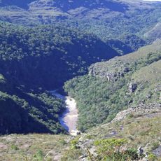
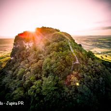
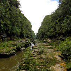
The area contains an enormous canyon with rock walls rising about 80 meters high, stretching across roughly 10 kilometers. This canyon ranks among the world's largest formations of its kind and remains an overlooked natural wonder.

The community of curious travelers

AroundUs brings together thousands of curated places, local tips, and hidden gems, enriched daily by 60,000 contributors worldwide.

Start exploring
Location
Elevation above the sea
1,221 m
Shares border with
Doutor Ulysses, Arapoti, Piraí do Sul, São José da Boa Vista, Sengés
GPS coordinates
-24.25083,-49.70583
Latest update
December 20, 2025 15:34
Reviews
Share your experience

No review yet

Discussions
Start a discussion...

No discussion yet

« Jaguariaíva - Administrative municipality in Paraná, Brazil » is provided by Around Us (aroundus.com). Images and texts are derived from Wikimedia project under a Creative Commons license. You are allowed to copy, distribute, and modify copies of this page, under the conditions set by the license, as long as this note is clearly visible.

Discover hidden gems everywhere you go!

From secret cafés to breathtaking viewpoints, skip the crowded tourist spots and find places that match your style. Our app makes it easy with voice search, smart filtering, route optimization, and insider tips from travelers worldwide. Download now for the complete mobile experience.

Around Us App Screenshot

A unique approach to discovering new places

Le Figaro

All the places worth exploring

France Info

A tailor-made excursion in just a few clicks

20 Minutes

Around Us
Travel Guide & Maps
Download

Send to your phone

QR Code
1

Open the camera app on your mobile.

2

Point at the QR code with your camera. A notification will appear.

3

Tap the notification to open the link.