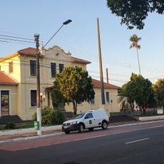
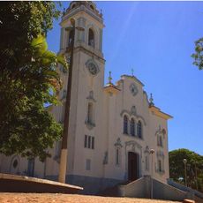
Andirá, Administrative municipality in Paraná, Brazil
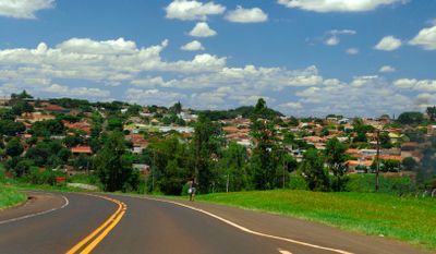
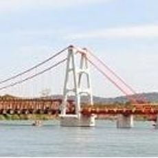
Andirá is a municipality in the Norte Pioneiro region of Paraná, located on elevated terrain at about 479 meters above sea level. The area is connected by several highways to larger centers and serves as a local administrative hub for the surrounding territory.
The municipality was established through the administrative division of Paraná state as the region developed. Its founding was part of the economic and settlement expansion of the Norte Pioneiro area.
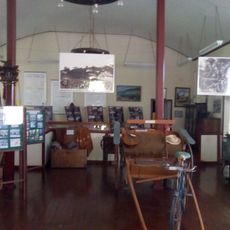
The place carries a name of indigenous origin that reflects the local identity of the community. Residents maintain their connection to this linguistic heritage through everyday communication and local gatherings.
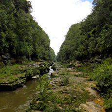
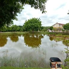
The area is well reached by several highways connecting it to larger cities across the state. Visitors should know that the elevated terrain and hilly landscape may affect travel planning.
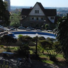
The area sits in a strategic position between several smaller settlements, making it an important crossroads in the region. This central location has long shaped its role as a meeting point for trade and exchange.
Location: Paraná
Elevation above the sea: 479 m
Shares border with: Bandeirantes, Itambaracá, Barra do Jacaré, Cambará, Palmital
Website: http://andira.pr.gov.br
GPS coordinates: -23.05083,-50.22889
Latest update: December 7, 2025 20:42
Indústrias Reunidas Fábricas Matarazzo
98.2 km
Museu de Paleontologia de Marília
96.8 km
Fazenda Velha
136.7 km
Pico Agudo
78.2 km
Alves Lima bridge
50.1 km
Museu Histórico e Pedagógico Índia Vanuíre
127.7 km
Cerrado State Park
137.2 km
Concha acústica de Londrina
99.5 km
Parque Ecológico Samuel Klabin
142.2 km
Estação Assis
47.6 km
Jaguariaíva River Canyon
137 km
Caetetus Ecological Station
90.1 km
Ibiporã State Park
85.3 km
Museum of Paleontology
96.8 km
Catedral Basílica Menor de São Bento
97.5 km
Natural History Museum of Cornélio Procópio
45.5 km
Tenrikyo Church of Dendotyo
141.6 km
Museu de arte sacra Franciscano
128 km
Solar Luiz de Souza Leão
127.8 km
Historical Museum and Cultural Leto
112.6 km
Lago Municipal de Gália
108.8 km
Praça Rocha Pombo
99.5 km
Ponte Pênsil de Chavantes
50 km
Memorial Irmãs Galvão
87.7 km
Planetário de Londrina
100.3 km
Cineflix Aurora Shopping
102.1 km
Centro de Interpretação da Natureza Frans Krajcberg
142.2 km
Museu da Fauna e da Flora
142.3 kmVisited this place? Tap the stars to rate it and share your experience / photos with the community! Try now! You can cancel it anytime.
Discover hidden gems everywhere you go!
From secret cafés to breathtaking viewpoints, skip the crowded tourist spots and find places that match your style. Our app makes it easy with voice search, smart filtering, route optimization, and insider tips from travelers worldwide. Download now for the complete mobile experience.
A unique approach to discovering new places❞
— Le Figaro
All the places worth exploring❞
— France Info
A tailor-made excursion in just a few clicks❞
— 20 Minutes