Campos do Jordão, Mountain resort municipality in São Paulo, Brazil
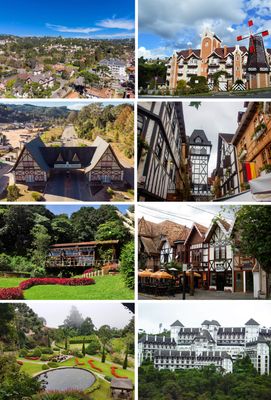
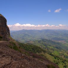
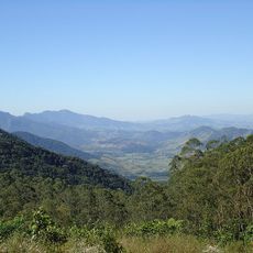
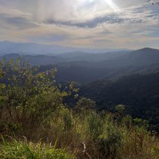
Campos do Jordão is a mountain municipality in São Paulo state, Brazil, sitting at 1,628 meters elevation and surrounded by forested hills and valleys. The streets display German and Swiss-style houses with peaked roofs and wooden facades, lined with avenues of tall conifers.
The municipality gained official status in April 1874, after first developing as a recovery destination for people with respiratory illnesses. From the 1930s onward, the place transformed into a winter holiday destination through the construction of hotels and vacation homes for wealthy families from São Paulo and Rio de Janeiro.
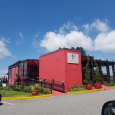
The Winter Festival takes place each July and turns the town into a gathering point for classical music lovers, with concerts held at several performance venues. Visitors can admire the alpine architecture in the Capivari and Jaguaribe neighborhoods, which recalls Swiss and German mountain towns and reflects the European roots of the region.
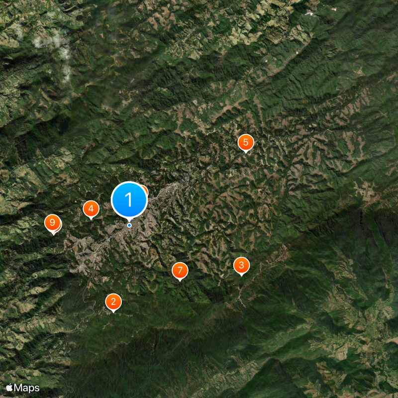
The temperate climate brings temperatures close to freezing during the winter months of June through August, with occasional frost, so warm clothing is necessary. The central Capivari zone is walkable, while surrounding viewpoints and park areas require a car or local shuttle buses to reach.
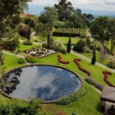
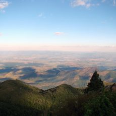
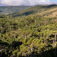
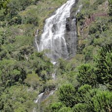
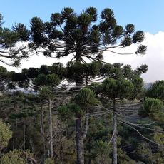
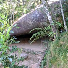
The Parque Estadual de Campos do Jordão protects 8,000 hectares (19,770 acres) of Atlantic Forest remnants and shelters natural stands of the Brazilian araucaria, a conifer species that has become rare elsewhere. Hiking trails wind through these forests and allow encounters with parrots, agoutis, and other animals of the Serra da Mantiqueira.
The community of curious travelers
AroundUs brings together thousands of curated places, local tips, and hidden gems, enriched daily by 60,000 contributors worldwide.