Taubaté, Administrative center in São Paulo state, Brazil
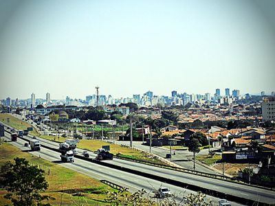
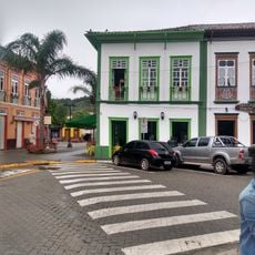
Taubaté serves as an administrative center in São Paulo state and sits in the Paraíba valley between the two largest metropolises of Brazil. The municipality spreads across a gently rolling area with residential neighborhoods, industrial zones, and rural patches along its southern edges.
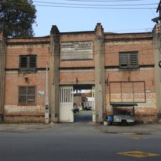
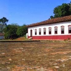
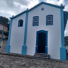
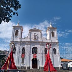
The settlement emerged in the early 1600s as a post along a trade route between the coast and interior lands. Coffee cultivation brought prosperity to the area in the mid-1800s, and the town gained city status in 1842.
The name comes from a Tupi word meaning many hills, referring to the rolling landscape around the settlement. Residents call themselves Taubateanos and celebrate their foundation day each March with parades and street festivals.
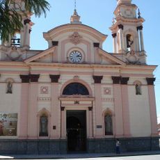
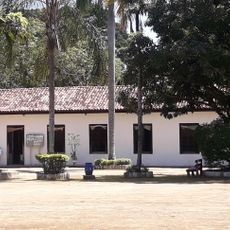
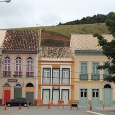
The center sits between São Paulo and Rio de Janeiro on a major highway and has regular bus connections to both metropolises. Most public services and shops cluster around the historic core in the downtown area.
A park on the southern edge holds a replica launch platform where a Brazilian space project was publicly presented in the 1990s. The site remains accessible only during special events and recalls the ambitions of the regional aerospace industry.
The community of curious travelers
AroundUs brings together thousands of curated places, local tips, and hidden gems, enriched daily by 60,000 contributors worldwide.