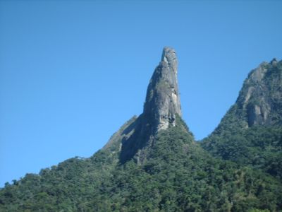
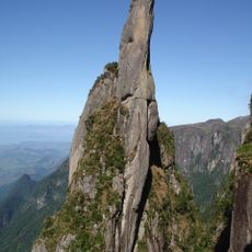
Dedo de Deus, Mountain summit in Teresópolis, Brazil
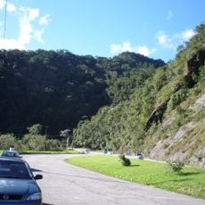
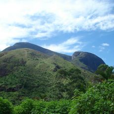
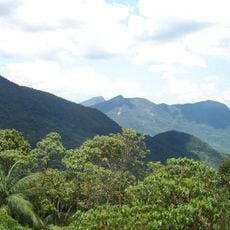
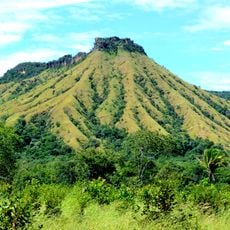
Dedo de Deus is a mountain summit near Teresópolis featuring a distinctive granite rock formation that resembles a pointing finger. The peak serves as a major climbing destination and is accessible via several established routes of varying difficulty levels.
Brazilian mountaineers completed the first recorded ascent in 1912, marking a turning point in South American climbing history. This early achievement helped establish the region as a center for mountaineering activity.
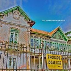
The mountain's distinctive shape appears on Rio de Janeiro state's official flag and coat of arms, serving as a symbol of regional identity. Locals and visitors alike regard this rock formation as representing the area's connection to its natural landscape.
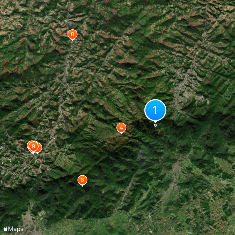
Visitors should prepare for various routes ranging from moderate hiking trails to technical climbing sections. Proper footwear and knowledge of local conditions are essential for a safe ascent.
The granite formation sits within Serra dos Órgãos National Park, a range named after the peaks' resemblance to church organ pipes. This unusual naming reflects the distinctive geology and appearance of the entire mountain chain.
Location: Guapimirim
Location: Petrópolis
Location: Teresópolis
Elevation above the sea: 1,692 m
GPS coordinates: -22.47158,-43.00914
Latest update: December 7, 2025 09:25
Cathedral of Petrópolis
17.9 km
Palácio de Cristal
18.3 km
Serra dos Órgãos National Park
5 km
Palácio Rio Negro
18.2 km
Parque das Ruínas
13.7 km
Imperial Museum of Brazil
17.6 km
Castle of the Baron of Itaipava
17.2 km
Casa da Princesa Isabel
18.1 km
Santos Dumont House Museum
18.5 km
Palácio do Grão-Pará
17.4 km
Bell Stone
2.5 km
Granja Comary
4.1 km
Palácio Amarelo
17.8 km
Mirante da Granja Guarani
3.8 km
Aguja del Diablo
1.7 km
Montanhas de Teresópolis Municipal Nature Park
15.3 km
Avenida Koeler
18.1 km
Petrópolis Municipal Nature Park
17.2 km
Colina do Mirante
6.1 km
Pedra do Elefante Natural Monument
17 km
Mosteiro da Virgem
17.4 km
Casa da Memória Arthur Dalmasso
8 km
Guapi-Guapiaçú Environmental Protection Area
14.7 km
Palácio Amarelo - Edifício da Câmara Municipal
17.8 km
Capela de Santo Aleixo
13.3 km
Morro do Segredo
9.5 km
Capela de Nossa Senhora da Conceição
2.9 km
Cachoeira da Macumba
7.4 kmVisited this place? Tap the stars to rate it and share your experience / photos with the community! Try now! You can cancel it anytime.
Discover hidden gems everywhere you go!
From secret cafés to breathtaking viewpoints, skip the crowded tourist spots and find places that match your style. Our app makes it easy with voice search, smart filtering, route optimization, and insider tips from travelers worldwide. Download now for the complete mobile experience.
A unique approach to discovering new places❞
— Le Figaro
All the places worth exploring❞
— France Info
A tailor-made excursion in just a few clicks❞
— 20 Minutes